What is recorded here
Located on a slight N-facing slope. Traces of an enclosure (diam. c. 30m) defined by a single feature is visible on the vertical aerial photographs (GSIAP: S 3/4), but it is not visible at ground level in pasture.
Compiled by: Michael Moore
Date of upload; 12 February, 2014
The monument record does not grant public access. Check the route and ask the landowner before entering private land.
- What survives
- Recorded monument
Places near here
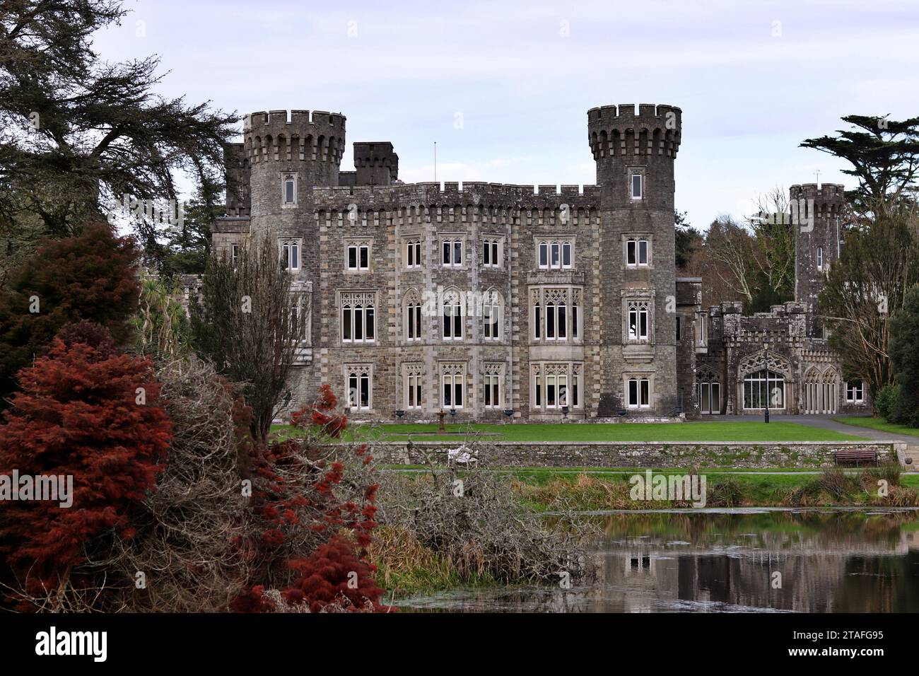 Lady WellHoly well · 516 yd
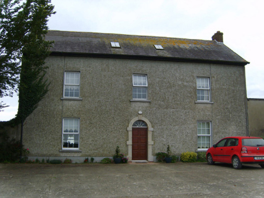 Air Hillfarm house · 675 yd
 Embbanked enclosureFairy fort / earthen ringfort · 1213 yd
 Shelbourne Lodgehouse · 1412 yd
 AshgroveVisitor information · 1.0 mi
 Not inidcatedBawn · 1.0 mi
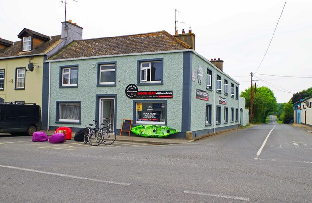 Hook Tourism (Fethard Office)Visitor information · 1.1 mi
 Fethard CastleCastle, hall-house · 1.1 mi
 Carnivan BeachBeach / strand · 1.5 mi
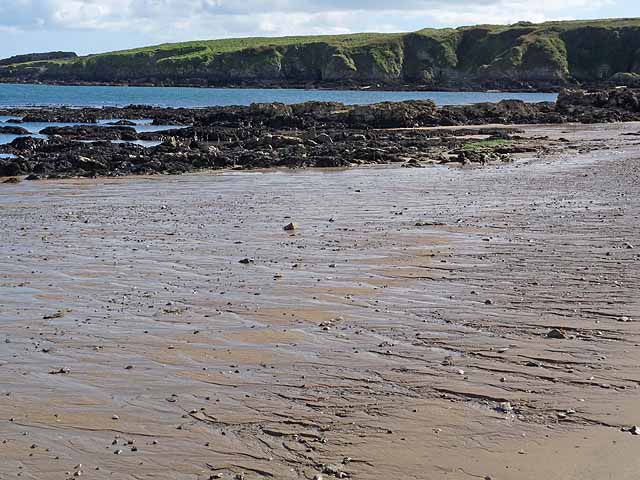 Baginbun BeachBeach / strand · 1.7 mi
 Baginbun HeadHeadland · 1.8 mi
 Carricjmore CliffCliff · 2.1 mi