What is recorded here
Located on a N-S ridge, bordering the E bank of the River Moy.
This enclosure is shown on the 1837 and 1930 OS 6-inch maps. On the 1930 edition it is depicted as a broadly oval embanked area (c. 20m E−W; c. 15m N−S), bisected centrally on a NW−SE axis by the townland boundary/field fence. It has been levelled. An inspection in 1995 noted a slightly raised area of rough ground (c. 12-15m N-S; c. 7-10m E-W) on the E side of the bisecting field fence, and a slight, irregular arc of raised ground could be discerned on the W side of the fence. A few meters to the W there is a steep drop where the ridge slope has been cut away; to the NE and SE there are housing estates.
On the 1837 OS 6-inch map another, larger enclosure (MA030-038----), now levelled, is shown immediately to NW.
Compiled by: Jane O’Shaughnessy
Date of upload: 16 April 2018
The monument record does not grant public access. Check the route and ask the landowner before entering private land.
- What survives
- Recorded monument
Places near here
 Enclosure in QuignaleckaEnclosure · 36 yd
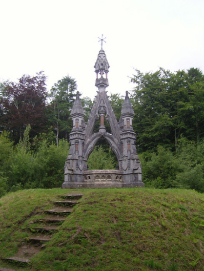 Belleek Manormonument · 434 yd
 Knox Gore MonumentMonument · 436 yd
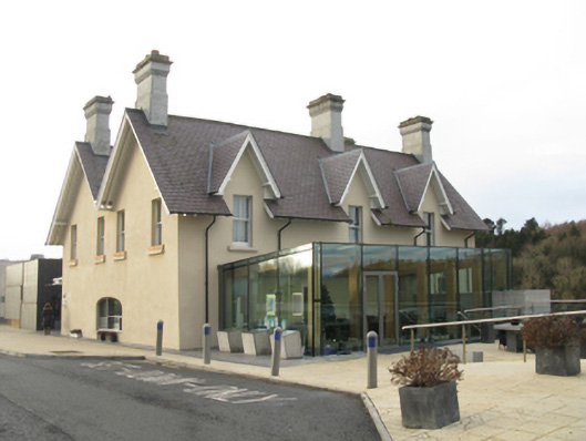 The Ice Housebuilding misc · 521 yd
 FloretteWreck · 649 yd
 The Marshall Doran CollectionGallery · 702 yd
 Belleek WoodsWood · 815 yd
 Belleck CastleCastle, unclassified · 1306 yd
 Humbert MonumentMemorial · 1.2 miBattle of Ballinabattle · 1.6 mi
 Rinphilip PointHeadland · 1.7 mi
 CastleCastle, unclassified · 1.9 mi