
What is recorded here
In recently reseeded pasture, on a gentle NE-facing slope. Circular area (dims. 28m NW-SE; 27m NE-SW) defined by remains of levelled bank (Wth 10.5m; int. H 0.4m; ext. H 0.25m). Interior is dish-shaped and monument is incorporated into field as pasture.
Compiled by: Alison McQueen and Vera Rahilly
Date of upload: 18 November 2014
The monument record does not grant public access. Check the route and ask the landowner before entering private land.
- What survives
- Recorded monument
Places near here
 Enclosure in ParkEnclosure · 236 yd
 IndicatedFairy fort / earthen ringfort · 573 yd
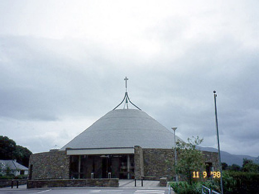 Catholic Church of the Resurrectionchurch/chapel · 813 yd
 Killarney Railway Stationrailway station · 1498 yd
 Mass RockNamed rock · 1719 yd
 Killarney First World War MemorialMemorial · 1.1 mi
 Kerry 2nd Brigade of the Irish Republican ArmyMemorial · 1.1 mi
 Jaunting ToursHeritage attraction · 1.1 mi
 Lissivigeen Stone CircleHeritage attraction · 1.1 mi
 GinkgoGinkgo · 1.2 mi
 The WildernessForest · 1.4 mi
 Circular WalkWalking route · 1.9 mi
Other information
Photo: Credit not shown in the picture search · Rights wording not checked; contact us if this picture should be removed