
What is recorded here
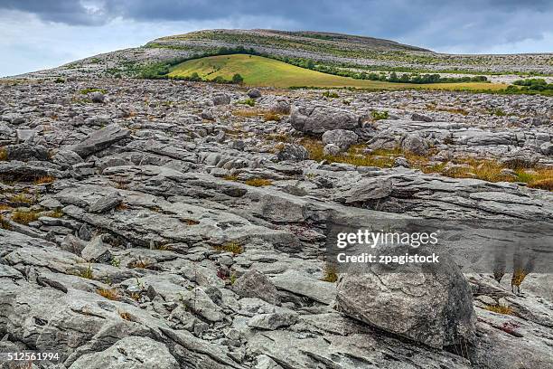
On a gentle S-facing slope in rough pasture and hazel. A subcircular enclosure (int. diams. 8.4m E-W; 7m N-S; ext. diams. 11.1m E-W; 11m N-S) is defined by the remains of a collapsed, grassed-covered stone wall (Wth 1.2-2.8m; int. H 0.1-0.3; ext. H 0.4-0.5m). Some large stones are laid with their long axes along the wall circumference. The wall is absent from E to SE, but this does not appear to be an original entrance.
Compiled by: Gearóid Conroy and Conn Herriott
Date of upload: 9 August 2022
The monument record does not grant public access. Check the route and ask the landowner before entering private land.
- What survives
- Recorded monument
Places near here
 Enclosure in Noughaval (burren By.)Enclosure · 282 yd
 CaherwalshFairy fort / stone ringfort · 477 yd
 Noughaval Church (in ruins)Church · 1091 yd
 Noughaval Crossmonument · 1141 yd
 Ballyganner Castle (in ruins)Castle, tower house · 1.1 mi
 Site of Ballymurphy CastleCastle, tower house · 1.5 mi
 Cave of the Wild HorsesCave · 1.8 mi
 CaherconnellHeritage attraction · 2.2 mi
 High CrossHeritage attraction · 2.6 mi
 Poulnabrone - Burren GeositeVisitor information · 2.6 mi
 Burren Centre KilfenoraVisitor information · 2.6 mi
 Fergus River CaveCave · 3.3 mi
Other information
Photo: Credit not shown in the picture search · Rights wording not checked; contact us if this picture should be removed