
What is recorded here
Two concentric ditches circle Newtownpilsworth, the inner spanning forty metres and the outer ninety, with radial lines dividing the space between. That layout suggests a ringfort surrounded by a field system rather than a simple defensive wall. The earth may have held both a home and a working farm, weaving shelter and cultivation into one designed whole.
Aerial photograph (CUCAP BGN 54) shows cropmarks of two widely spaced apparently concentric fosses (est. diam. of inner enclosure c. 40m; est overall diam. c. 90m). The area between the inner and outer fosse appears to have radial subdivisions. Possibly a ringfort with a radial field system. Similar to Garvoge ringfort (No.***).
The monument record does not grant public access. Check the route and ask the landowner before entering private land.
- What survives
- Recorded monument
Places near here
 Enclosure in Grange (ballyadams By.)Enclosure · 555 yd
 Enclosure in Maganey LowerEnclosure · 691 yd
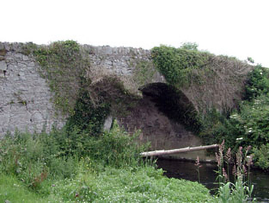 Newtown Bridgebridge · 711 yd
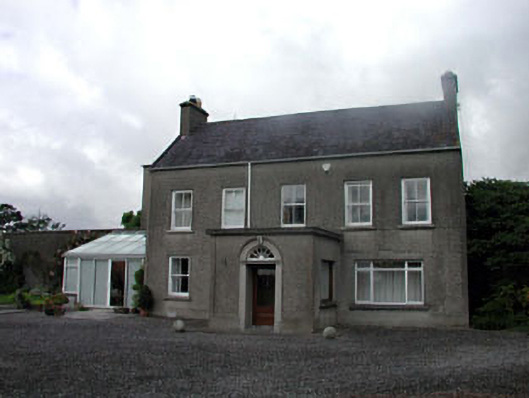 farm housefarm house · 895 yd
 Castle in ruinsCastle, unclassified · 1070 yd
 Castle (in ruins)Castle, tower house · 1.5 mi
 Pedunculate OakPedunculate Oak · 2.2 mi
 Oak Park Forest ParkWood · 2.7 mi
 Lorcán Ó TuathailMemorial · 3.2 mi
 ProclamationMemorial · 3.7 mi
 Franciscan FriaryHeritage attraction · 3.9 mi
 Castledermot Round TowerHeritage attraction · 4.0 mi
Other information
Photo: Credit not shown in the picture search · Rights wording not checked; contact us if this picture should be removed