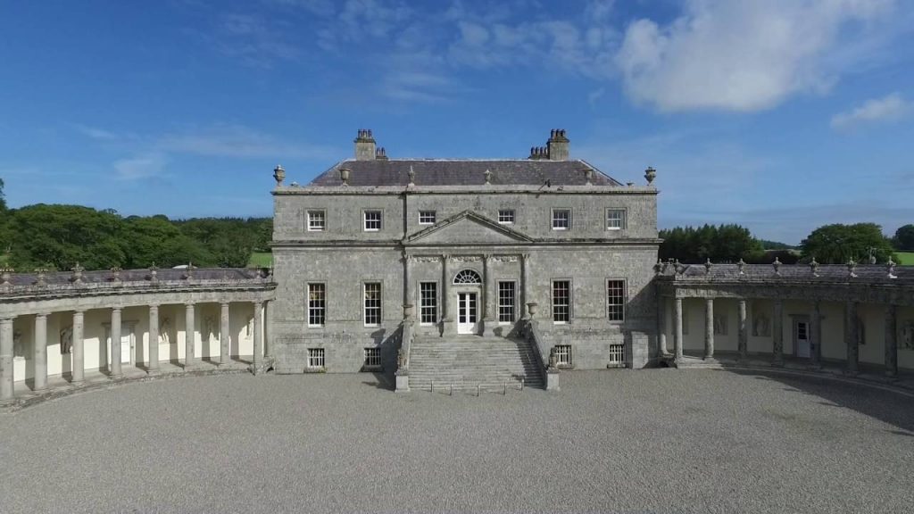
What is recorded here
Listed as an 'enclosure' in the SMR (1986) based on cartographic evidence (1st edtion OS six-inch map, 1838) where it is depicted as a hachured circular enclosure (diam. c. 50m). Price (1953, 226) refers to it as 'the oblong fort'. Currently within a forestry plantation.
Compiled by: Matt Kelleher
Date of upload: 21 December 2012
The monument record does not grant public access. Check the route and ask the landowner before entering private land.
- What survives
- Recorded monument
Places near here
 Ritual siteRitual site, holy/saint's stone · 241 yd
 Enclosure in Kilbaylet UpperEnclosure · 480 yd
 Church MountainMountain / peak · 1.4 mi
 Catholic Church of the Holy Trinitychurch/chapel · 1.6 mi
 Pedunculate OakPedunculate Oak · 1.7 mi
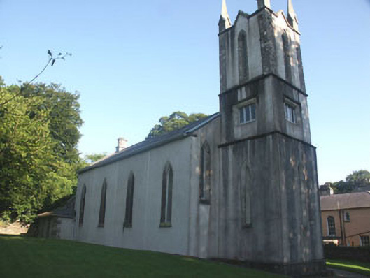 Donard Churchchurch/chapel · 1.7 mi
 Burial ground in CrehelpBurial ground · 1.7 mi
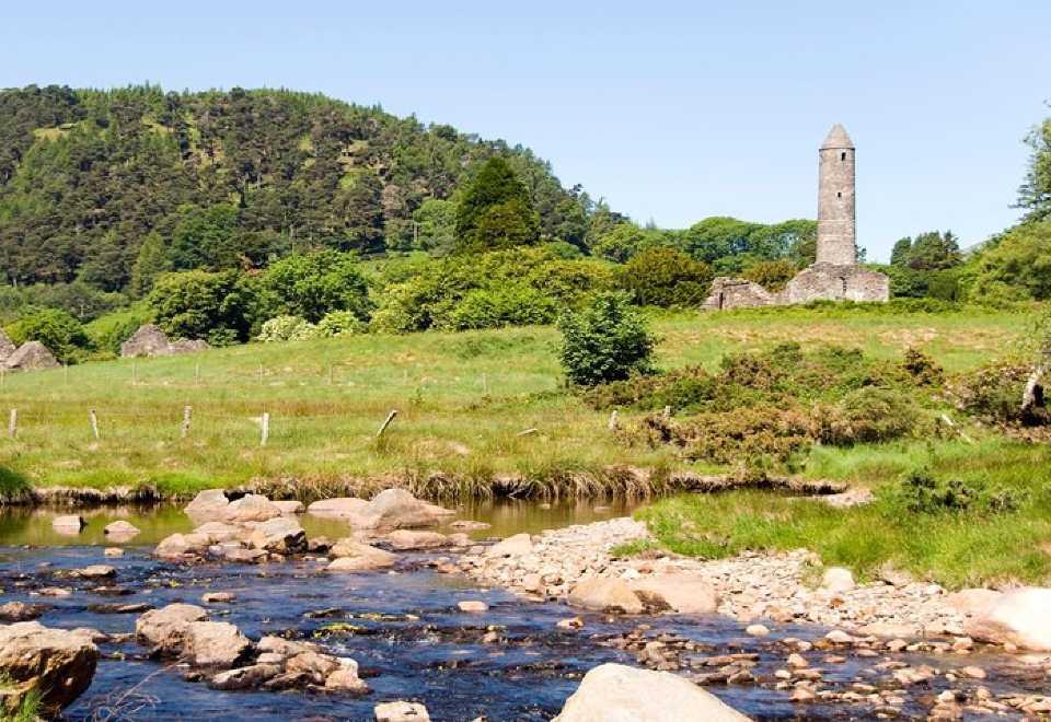 Ball MoatCastle, motte · 1.9 mi
 PinnacleMountain / peak · 2.3 mi
 Saint Kevin's CaveMemorial · 2.9 mi
 Hollywood SignHeritage attraction · 3.0 mi
 Castle BankCastle, motte and bailey · 3.1 mi
Other information
Photo: Credit not shown in the picture search · Rights wording not checked; contact us if this picture should be removed