What is recorded here
Enclosure in Meenagloghrane stands as a slight rise in a County Cork pasture, marking the vanished fort that local memory claims wore a ring all round before ploughs erased it. The field sits on the edge of a north-facing slope above a nearby stream, preserving the shape of a boundary that no longer shows itself in stone. What remains is a subtle swelling in the grass, waiting for someone to walk its hidden circle and imagine the life that once turned within it.
In pasture, on edge of N-facing slope down to stream a short distance away. According to local information, fort once existed in this field, which had a 'ring all round' before it was levelled. Slight rise visible in area of site.
The above description is derived from the published 'Archaeological Inventory of County Cork. Volume 4: North Cork' (Dublin: Stationery Office, 2000). In certain instances the entries have been revised and updated in the light of recent research.
Date of upload/revision: 14 January 2009
The monument record does not grant public access. Check the route and ask the landowner before entering private land.
- What survives
- Recorded monument
Places near here
 BarrowBarrow, ring-barrow · 1010 yd
 Fulacht FiadhFulacht fia · 1.0 mi
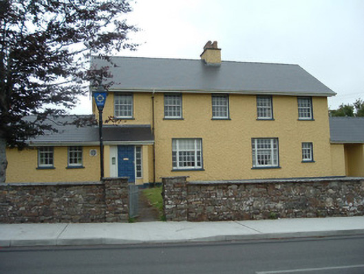 Knocknagree Garda Stationgarda station/constabulary barracks · 1.3 mi
 Knocknagree Roman Catholic Churchchurch/chapel · 1.4 mi
 Nohaval WoodWood · 2.4 mi
 Dromsicane Castle (in Ruins)Bawn · 5.4 mi
 Caherbarnagh NW TopMountain / peak · 6.2 mi
 Claragh MountainMountain / peak · 6.3 mi
 Barna BogForest · 6.4 mi
 Millstreet Museum & Tourist Information CentreMuseum · 6.4 mi
 Claragh Loop (Trailhead 99)Visitor information · 6.4 mi
 Millstreet Tourist InformationVisitor information · 6.4 mi