What is recorded here
Fifty metres from the C-shaped enclosure and a short distance north-east of the great Lough Gur settlement, a small D-shaped bank still marks the edge of human claim. It sits above a narrow valley where Back Hill and Knockmore split apart, small enough to hide in grass yet large enough to exclude others from the best ground. People may have stood there to watch herds, children or strangers cross the cliff edge, drawing a line between what they kept and what they released.
In rocky pasture above a low cliff on the E side and overlooking a narrow N-S steep sided valley that bisects Knockadoon Peninsula separating Back Hill to the W and Knockmore to the E. The enclosure site is located NE of a complex Neolithic and Bronze Age settlement that was discovered during a campaign of archaeological excavation over 18 seasons led by Professor Seán P. Ó Ríordáin at Lough Gur (Cleary 2018). These include archaeological excavations by Ó Ríordáin at Circle K (LI032-022028-) 315m to SW and at Circle J (LI032-022020-) 250m to SW. Archaeological excavations were conducted by Cleary at a C-shaped enclosure (LI032-022008-) 300m to WSW. The enclosure (LI032-022026-) is located 50m to NW.
The site is not depicted on historic OSi maps nor is it clearly visible on both OSi orthoimages taken 2005-12 and on Digital Globe orthoimage taken 2011-2013. Grogan (1989) described the enclosure as D-shaped with max. dimensions of 15m. It is referred to as ‘Grogan Site 22’ in the Archaeological Survey of Ireland Site and Monuments Record Archive. The site of the enclosure is visible on Google Earth orthoimages taken 28/06/2018 and 20/09/2020. The precise location of the monument should be verified by fieldwork.
See attached site location map by Cleary 2003 and Google Earth orthoimages
Compiled by: Edmond O’Donovan
Date of upload: 25 November 2020
The monument record does not grant public access. Check the route and ask the landowner before entering private land.
- What survives
- Recorded monument
Places near here
 Knockadoon Hill 446 ODCairn, ring-cairn · 145 yd
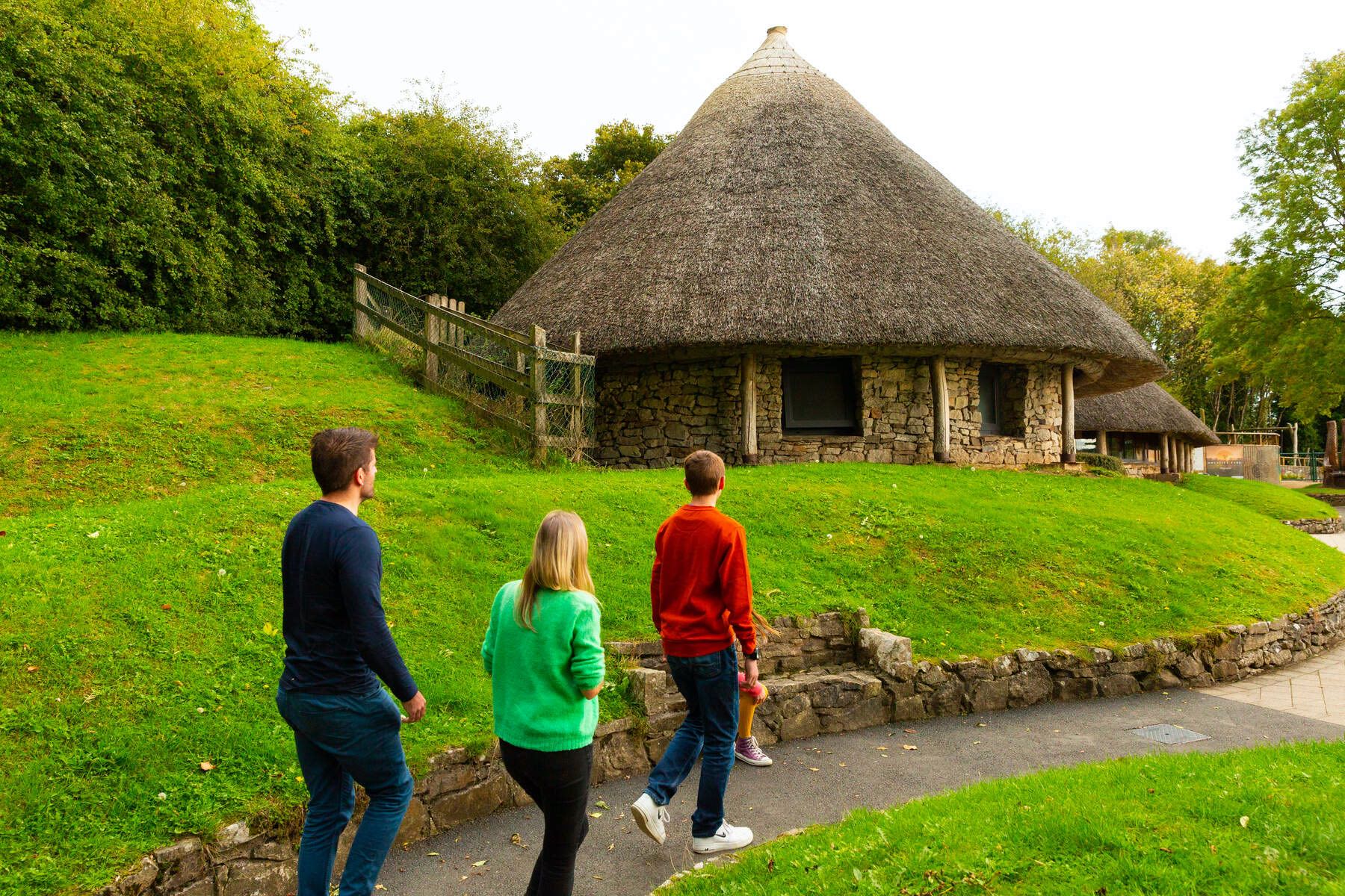 Hut site in LoughgurHut site · 209 yd
 RoadRoad, road/trackway · 319 yd
 Loughgur Farmhouse · 340 yd
 Pedunculate OakPedunculate Oak · 350 yd
 Black Castle (in ruins)Castle, tower house · 362 yd
 Garret IslandCastle, unclassified · 647 yd
 Lough Gur Heritage CentreVisitor information · 677 yd
 The SpectaclesVisitor information · 746 yd
 Grange Stone CircleArchaeological place · 1416 yd
 Lough GurVisitor information · 1475 yd
 Glen BogForest · 1.9 mi