What is recorded here
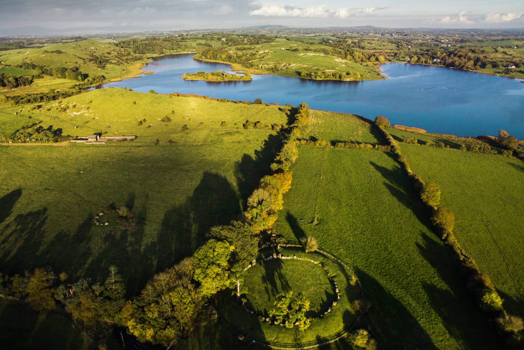
Thirty metres of C-shaped stone on a rocky cliff terrace above Lough Gur, open to the northwest like a cupped hand catching rain from Knockfennell. It belongs to the same Neolithic and Bronze Age settlement where Ó Ríordáin dug for eighteen seasons, yet its own identity became tangled: finds from neighbouring Site 12 were mislabelled Site 11, and no excavation record for this enclosure has ever surfaced. The stones still stand where they were set, holding a gap in the story that maps and archives never closed.
In rocky scrub woodland on the NW-facing slope of Knockadoon Peninsula on a terrace above a low rock cliff 40m SE of Lough Gur. Located looking NW towards Knockfennell. The enclosure (Site 11) is within a complex Neolithic and Bronze Age settlement that was discovered during a campaign of archaeological excavation over 18 seasons led by Professor Seán P. Ó Ríordáin at Lough Gur (Cleary 2018). Archaeological excavations were conducted by Ó Ríordáin at Circle K (LI032-022028-) 210m to SSW and at Site 12 (LI032-022007-) 280m to SW. Archaeological excavations were conducted by Cleary at a C-shaped enclosure (LI032-022008-) 150m to SW. An unexcavated enclosure (LI032-022022-) is located 20m to E.
Archaeological excavations were reputedly conducted by Ó Ríordáin at Site 11 (O’Kelly and O’Kelly 1978, 21), although this appears not to have been the case. Ó Ríordáin died prematurely and some of his excavations at Lough Gur were published posthumously (Grogan and Eogan 1987). Their analysis of the site excavation archive identified confusion within the numbering of artefacts excavated at Site 12 but numbered Site 11, additionally some of the Ó Ríordáin site excavation archives cannot be located. The site is not depicted on historic OSi maps but is visible on both OSi orthoimages taken 2005-12 and on Digital Globe orthophoto taken 2011-2013 as a C-shaped enclosure (ext. dims. c. 27m NE-SW; 25m NW-SE) that backs onto the cliff edge and is open to the NW. Dr Eoin Grogan and Professor George Eogan (1987, 462) described Site 11 (LI032-022019-) as an ‘irregular enclosure of similar construction to Site 12 (LI032-022007-) on the N side of Knockadoon. Although O’Kelly indicated that this site had been excavated no records of the excavation are known. However there appears to have been some confusion over the numbering of the finds from Site 12 as this was originally designated Site 11’. Ó Ríordáin (1953/4, 459, Plate XII) and Cleary (2003, 99) illustrated the location of Site 11. The enclosure is visible on Google Earth orthoimages taken 05/04/2006; 16/03/2006; 28/06/2018 and 20/09/2020.
See attached Google Earth orthoimages
Compiled by: Edmond O’Donovan
Date of upload: 24 November 2020
The monument record does not grant public access. Check the route and ask the landowner before entering private land.
- What survives
- Recorded monument
Places near here
 Cist in LoughgurCist · 143 yd
 Lough Gur Neolithic settlementArchaeological place · 235 yd
 Garret IslandCastle, unclassified · 426 yd
 Pedunculate OakPedunculate Oak · 454 yd
 RoadRoad, road/trackway · 503 yd
 Loughgur Farmhouse · 516 yd
 Black Castle (in ruins)Castle, tower house · 519 yd
 Lough Gur Heritage CentreVisitor information · 729 yd
 The SpectaclesVisitor information · 758 yd
 Grange Stone CircleArchaeological place · 1229 yd
 Lough GurVisitor information · 1284 yd
 Glen BogForest · 2.0 mi