What is recorded here
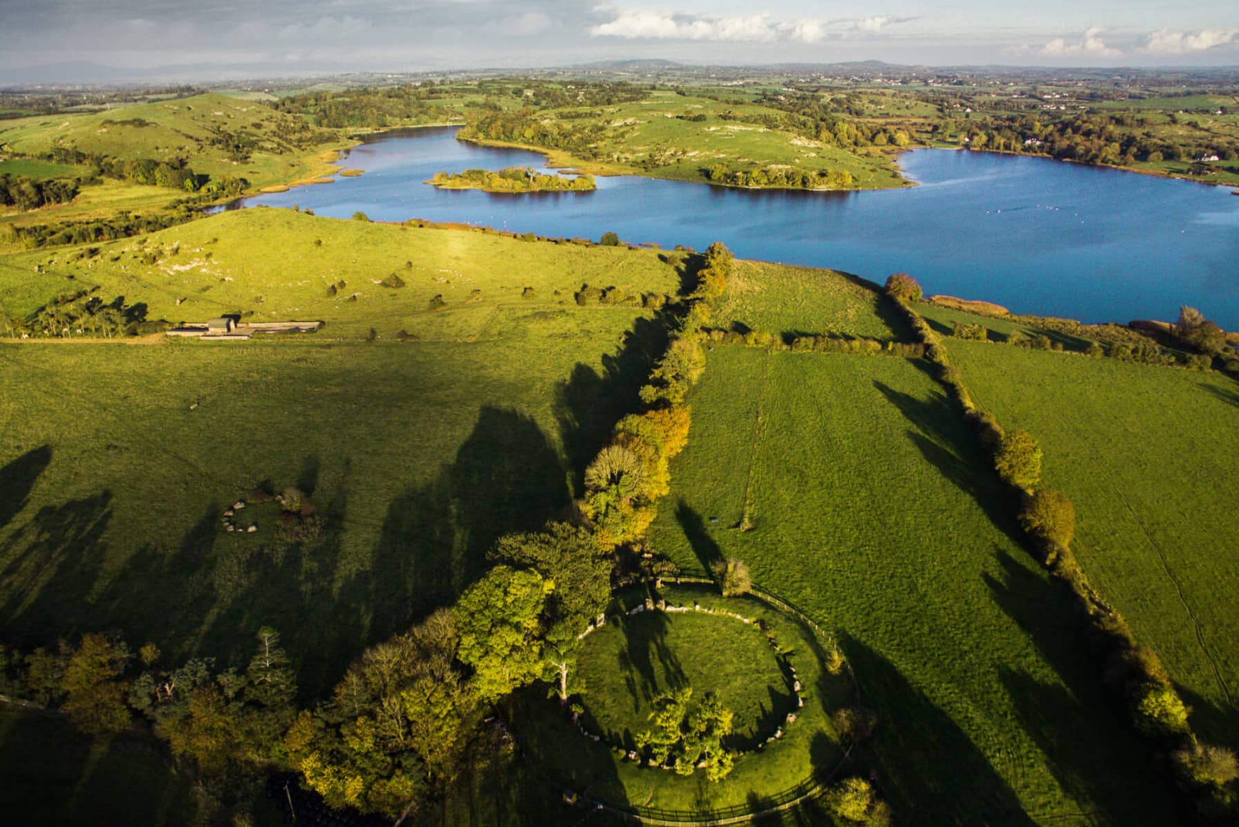
In rocky pasture and scrub woodland on the NW-facing slope of Knockadoon Peninsula on a terrace between two low rock cliffs. Located looking NW towards Knockfennell 75m SE of Lough Gur. Located to the N of a complex Neolithic and Bronze Age settlement that was discovered during a campaign of archaeological excavation over 18 seasons led by Professor Seán P. Ó Ríordáin at Lough Gur (Cleary 2018). Archaeological excavations were conducted by Ó Ríordáin at Circle K (LI032-022028-) 265m to SSW and at Site 12 (LI032-022007-) 340m to SW. Archaeological excavations were conducted by Cleary at a C-shaped enclosure (LI032-022008-) 210m to SW. An unexcavated enclosure (Site 11, LI032-022019-) is located 20m to W.
The site is not depicted on historic OSi maps but is faintly visible on both OSi orthoimages taken 2005-12 and on Digital Globe orthophoto taken 2011-2013 as a curving S-shaped enclosure (ext. dims. 75m NE-SW; 20m NW-SE). Grogan (1989) described how ‘the N side of the site is formed by a double kerbed wall the platform [presumably within the enclosure] has max dimensions of 35m x 25m’. The site is illustrated by Cleary (2003, 99) and described as a double stone row with infilled bank at the N where the enclosure is C-shaped and is open to the S. A single curving stone wall extends from the SW side of the enclosure along the top of a cliff edge for 60m forming the W side of the enclosure. The enclosure is partially visible on Google Earth orthoimages taken 05/04/2006; 25/03/2017; 28/06/2018 and 20/09/2020.
See attached Google Earth orthoimages
Compiled by: Edmond O’Donovan
Date of upload: 24 November 2020
The monument record does not grant public access. Check the route and ask the landowner before entering private land.
- What survives
- Recorded monument
Places near here
 Cist in LoughgurCist · 175 yd
 Lough Gur Neolithic settlementArchaeological place · 274 yd
 Pedunculate OakPedunculate Oak · 394 yd
 Loughgur Farmhouse · 456 yd
 Garret IslandCastle, unclassified · 486 yd
 RoadRoad, road/trackway · 487 yd
 Black Castle (in ruins)Castle, tower house · 511 yd
 Lough Gur Heritage CentreVisitor information · 676 yd
 The SpectaclesVisitor information · 711 yd
 Grange Stone CircleArchaeological place · 1289 yd
 Lough GurVisitor information · 1345 yd
 Glen BogForest · 2.0 mi