What is recorded here
On a natural rise in undulating reclaimed pastureland. Marked on OS 6-inch maps as a circular enclosure (D c. 36m) overlain from SSE to SW by a field boundary. The monument has been levelled and all that survives is a faint rise, outside of which are traces of an external fosse. The interior contained a CBG (GA018-044001-). A named well (GA018-046----) lies to SE.
The above description is derived from the published 'Archaeological Inventory of County Galway Vol. II - North Galway'. Compiled by Olive Alcock, Kathy de hÓra and Paul Gosling (Dublin: Stationery Office, 1999).
Date of upload: 05 August 2010
The monument record does not grant public access. Check the route and ask the landowner before entering private land.
- What survives
- Recorded monument
Places near here
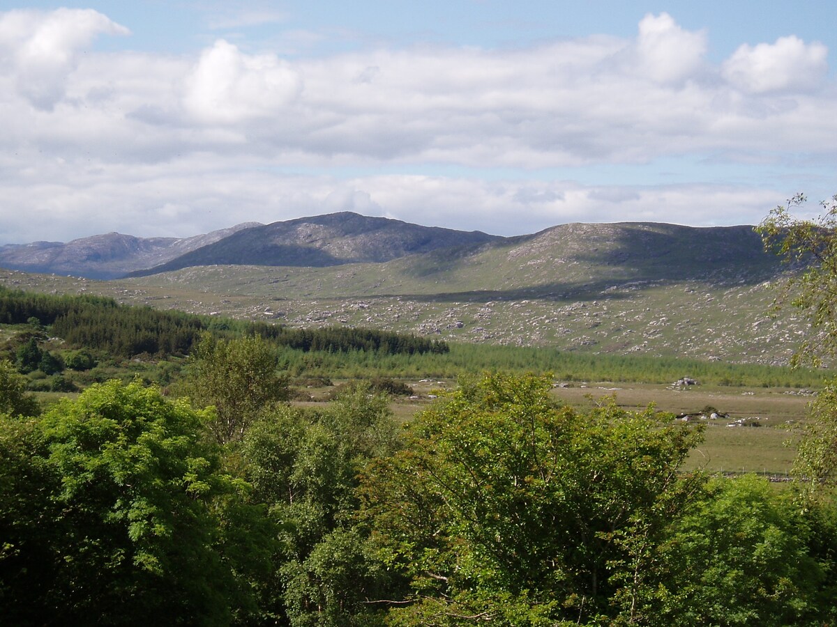 LissardFairy fort / earthen ringfort · 771 yd
 St. Francis MonasteryReligious house, unclassified · 1235 yd
 Kilkerrin National Schoolschool · 1362 yd
 St. Bridgids WellHoly well · 1391 yd
 Bawn in Kiltullagh (tiaquin By.)Bawn · 1482 yd
 Park CastleCastle · 1.1 mi
 HawthornHawthorn · 6.3 mi
 Ballinlass Eviction MemorialMemorial · 7.2 mi
 SycamoreSycamore · 7.3 mi
 Mount MaryMountain / peak · 8.1 mi
 Site of Killomaine Grave YardArchaeological place · 8.1 mi
 Knockmoy AbbeyHeritage attraction · 11 mi