What is recorded here
In level pasture. Shallow depression (Wth 12m; D 0.45m) with slight external rise (Wth 6m; H 0.25m), follows circular arc N->SE (approx. N-S diam. 25.3m). Entire site. covered in tall grass. According to local information remains of "a fort" which had been levelled some time ago.
Compiled by: Denis Power
Date of upload: 26 August 2011
The monument record does not grant public access. Check the route and ask the landowner before entering private land.
- What survives
- Recorded monument
Places near here
 Enclosure in KnockpatrickEnclosure · 756 yd
 St. Patricks Church (in ruins)Church · 972 yd
 Grave YardGraveyard · 979 yd
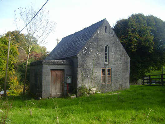 Foynes Church (Shanagolden)church/chapel · 1452 yd
 Foynes Flying Boat & Maritime MuseumMuseum · 1478 yd
 Foynes Island ViewpointViewpoint · 1626 yd
 Gammarel PointHeadland · 1.4 mi
 Monterey CypressMonterey Cypress · 1.4 mi
 Battery PointHeadland · 1.4 mi
 Foynes IslandIsland · 1.4 mi
 Robertstown Castle (in ruins)Castle, tower house · 1.8 mi
 Dysert Castle (in ruins)Castle, tower house · 2.8 mi