What is recorded here
In undulating pastureland. Marked on the 1838 edition of the OS 6-inch map as a circular enclosure and on the 1920 edition as a roughly circular pit (diam. c. 27m). Apart from a slight hollow which indicates the site’s location, no visible surface trace survives.
Compiled by: Galway Archaeological Survey, UCG
Date of upload: 10 April 2019
The monument record does not grant public access. Check the route and ask the landowner before entering private land.
- What survives
- Recorded monument
Places near here
 AltarAltar · 1690 yd
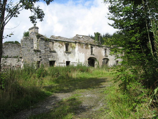 Marble Hilloutbuilding · 1745 yd
 Country house in MarblehillCountry house · 1.0 mi
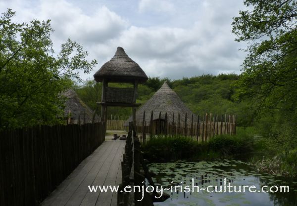 Crannog in Ballinlough (leitrim By.)Crannog · 1.6 mi
 Derrybrien Bog SlideHeritage attraction · 4.5 mi
 Maguire SistersMemorial · 4.6 mi
 TullymoreMountain / peak · 4.7 mi
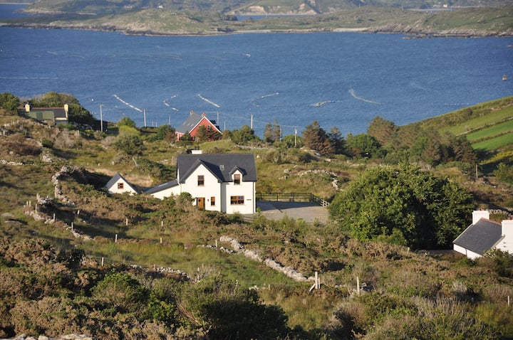 KnocknamonaMountain / peak · 4.8 mi
 Coolfin Castle (in ruins)Castle, tower house · 5.0 mi
 Site of CastleCastle, unclassified · 5.3 mi
 Scalpeen RockNamed rock · 6.3 mi
 Oak WoodForest · 6.4 mi