What is recorded here
Cropmark of bank and external fosse of large oval enclosure (diam. c. 80m) visible in aerial photograph (GSIAP, W413, July 1975); slightly truncated to NW, N and NE by field fences. The monument was removed in the course of quarrying prior to 1995.
The above description is derived from the published 'Archaeological Inventory of County Cork. Volume 4: North Cork' (Dublin: Stationery Office, 2000). In certain instances the entries have been revised and updated in the light of recent research.
Updated by: Paul Walsh
Revised date of upload: 13 August 2015
The monument record does not grant public access. Check the route and ask the landowner before entering private land.
- What survives
- Recorded monument
Places near here
 Quarry in BallyshehanQuarry · 1148 yd
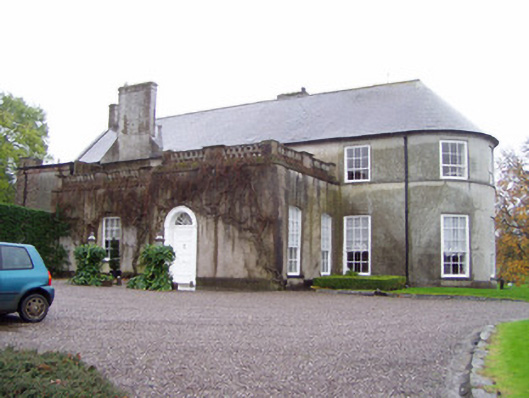 Rockforest Housecountry house · 1242 yd
 Grave YardGraveyard · 1318 yd
 Man-made underground passageMan-made underground passage · 1452 yd
 Carrig Castle (in Ruins)Castle, tower house · 1.1 mi
 Lover's LeapCliff · 1.8 mi
 Lover' LeapCliff · 1.9 mi
 Mallow Town Park - Maple WoodsForest · 2.2 mi
 Mallow Castle HouseCastle · 2.5 mi
 In loving memory of Elvis O'DonoghueMemorial · 3.2 mi
 Mallow River TrailVisitor information · 3.3 mi
 Blackwater WayWalking route · 3.7 mi