What is recorded here
In pasture, towards top of hill, on SE-facing slope. Circular area (14.4m N-S; 14.4m E-W) enclosed by earth and stone bank (int. H 0.85m; ext. H 0.4m). Bank topped by stone wall of upright slabs set radially. Break (Wth 8m) in bank to ENE. Interior level and planted with coniferous trees. Wedge tomb (6421) in adjoining field to NW.
The above description is derived from the published 'Archaeological Inventory of County Cork. Volume 3: Mid Cork' (Dublin: Stationery Office, 1997). In certain instances the entries have been revised and updated in the light of recent research.
Date of upload/revision: 14 January 2009
The monument record does not grant public access. Check the route and ask the landowner before entering private land.
- What survives
- Recorded monument
Places near here
 DolmenWedge tomb · 239 yd
 Man-made underground passageMan-made underground passage · 241 yd
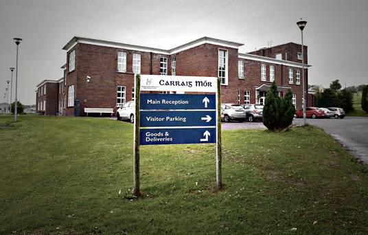 Carraig na Speireoige Chp (in Rns)Church · 1522 yd
 post boxpost box · 1.8 mi
 Clonavrick CliffCliff · 2.1 mi
 Neill's WoodWood · 2.4 mi
 Paddy Mulcahey 2009Memorial · 3.6 mi
 BurrenMountain / peak · 3.7 mi
 MusheramoreMountain / peak · 3.7 mi
 Carrigaphooca CastleCastle · 3.8 mi
 Standing Stone ? At J WellMemorial · 3.9 mi
 Macroom WalksVisitor information · 4.0 mi