What is recorded here
Lacka holds a ghost circle, visible only in an aerial photograph taken for a gas pipeline before pasture and time erased it from human sight. The enclosure lies 180m north of the Rathmore boundary road, with a ringfort waiting 350m to the northwest, suggesting a settled landscape rather than a lonely field marker. No surface remains are visible now, but the shape persisted long enough to be seen from above, as if the ground remembered a boundary people forgot.
In improved pasture 180m N of a local road that marks the townland boundary with Rathmore. Ringfort (LI031-014---) lies 350m to NW. Not depicted on OSi historic maps. Possible circular-shaped enclosure identified from examination of aerial photograph (BGE 1:10,000 No. 42) taken 03/11/1984 of the region associated with Bord Gáis Curraghleigh West-Limerick gas pipeline. Surveyed by the ASI in 2007 and described as no surface remains visible. No cropmark visible on OSi orthophoto taken between 2005-12 or on Google Earth orthoimages.
Compiled by: Martin Fitzpatrick
Date of upload: 2 April 2021
The monument record does not grant public access. Check the route and ask the landowner before entering private land.
- What survives
- Recorded monument
Places near here
 Mound in Rathmore SouthMound · 685 yd
 Bawn in Rathmore NorthBawn · 698 yd
 Enclosure in Ballymartin (pubblebrien By.)Enclosure · 1554 yd
 RoadRoad, road/trackway · 1639 yd
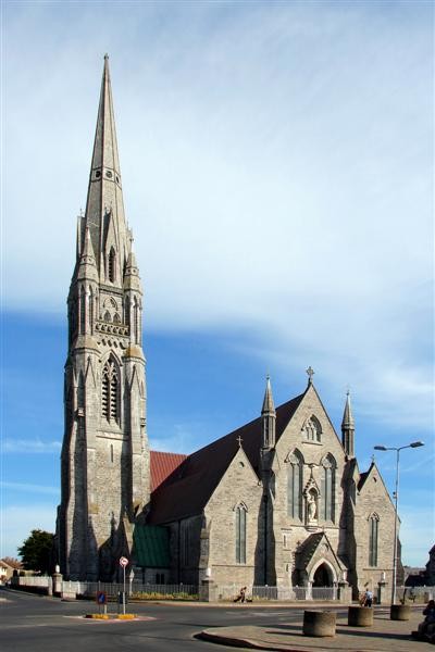 Watch Ho.Building · 1677 yd
 Monasteranenagh AbbeyHeritage attraction · 1699 yd
 European ashEuropean ash · 1.2 mi
 Glenogra Castle (in ruins)Castle, Anglo-Norman masonry castle · 1.8 mi
 Villiers WellSpring · 3.0 mi
 Biodiversity in the Maigue CatchmentVisitor information · 3.1 mi
 Dysert AenghusaHeritage attraction · 4.2 mi
 KnockfeerinaMountain / peak · 7.7 mi