
What is recorded here
In pasture, on a gentle S-facing slope, within Killarney National Park. A square enclosure (dims. c. 40m x c. 40m) is visible as a shadow site in an aerial photograph (ACAP, V 245) taken in 1956. It is not visible at ground level. A small circular enclosure (KE066-213----) lies c. 10m to the N.
Compiled by: Elizabeth Byrne, Ursula Egan and Sheila Ronan, Archaeological Survey Unit, University College, Cork.
Date of upload: 31 January 2011
The monument record does not grant public access. Check the route and ask the landowner before entering private land.
- What survives
- Recorded monument
Places near here
 Circular WalkWalking route · 134 yd
 CloghmochudaHoly well · 192 yd
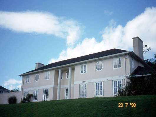 Knockreer Househouse · 424 yd
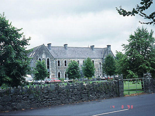 The Old Monasterymonastery · 738 yd
 Giant SequoiaGiant Sequoia · 766 yd
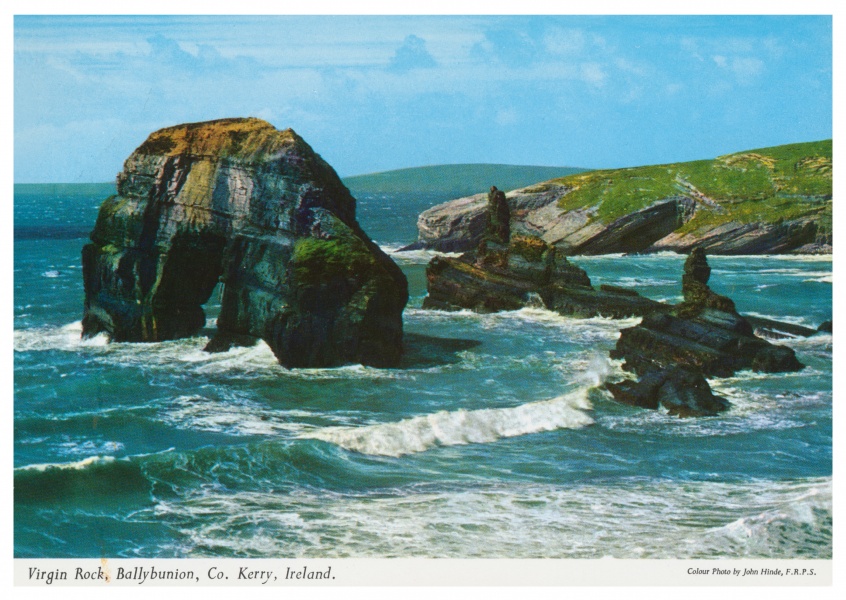 Fulacht FianFulacht fia · 799 yd
 Cairn of PeaceMemorial · 806 yd
 River WalkWalking route · 1089 yd
 Mission MemorialMemorial · 1115 yd
 GinkgoGinkgo · 1212 yd
 Jaunting ToursHeritage attraction · 1658 yd
 Lamb IslandIsland · 1.0 mi
Other information
Photo: Credit not shown in the picture search · Rights wording not checked; contact us if this picture should be removed