What is recorded here
On summit of a low rounded hillock overlooking bogland to S and Lough Corrib to NE. It is a circular area (D c. 21m) enclosed by a very low, narrow bank (Wth c. 0.75m, H 0.5m ext.) which is much gapped and closely planted with whitethorn bushes. There are slight traces of an external fosse on NE side, and a small irregular mound stands immediately to ENE. Apart from its designation on 1st ed. of OS 6-inch map, and siting, the whole monument looks entirely modern.
The above description is derived from the published 'Archaeological Inventory of County Galway Vol. I - West Galway'. Compiled by Paul Gosling (Dublin: Stationery Office, 1993).
Date of upload: 05 August 2010
The monument record does not grant public access. Check the route and ask the landowner before entering private land.
- What survives
- Recorded monument
Places near here
 aviary/dovecote/pigeon houseaviary/dovecote/pigeon house · 441 yd
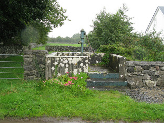 water pumpwater pump · 1305 yd
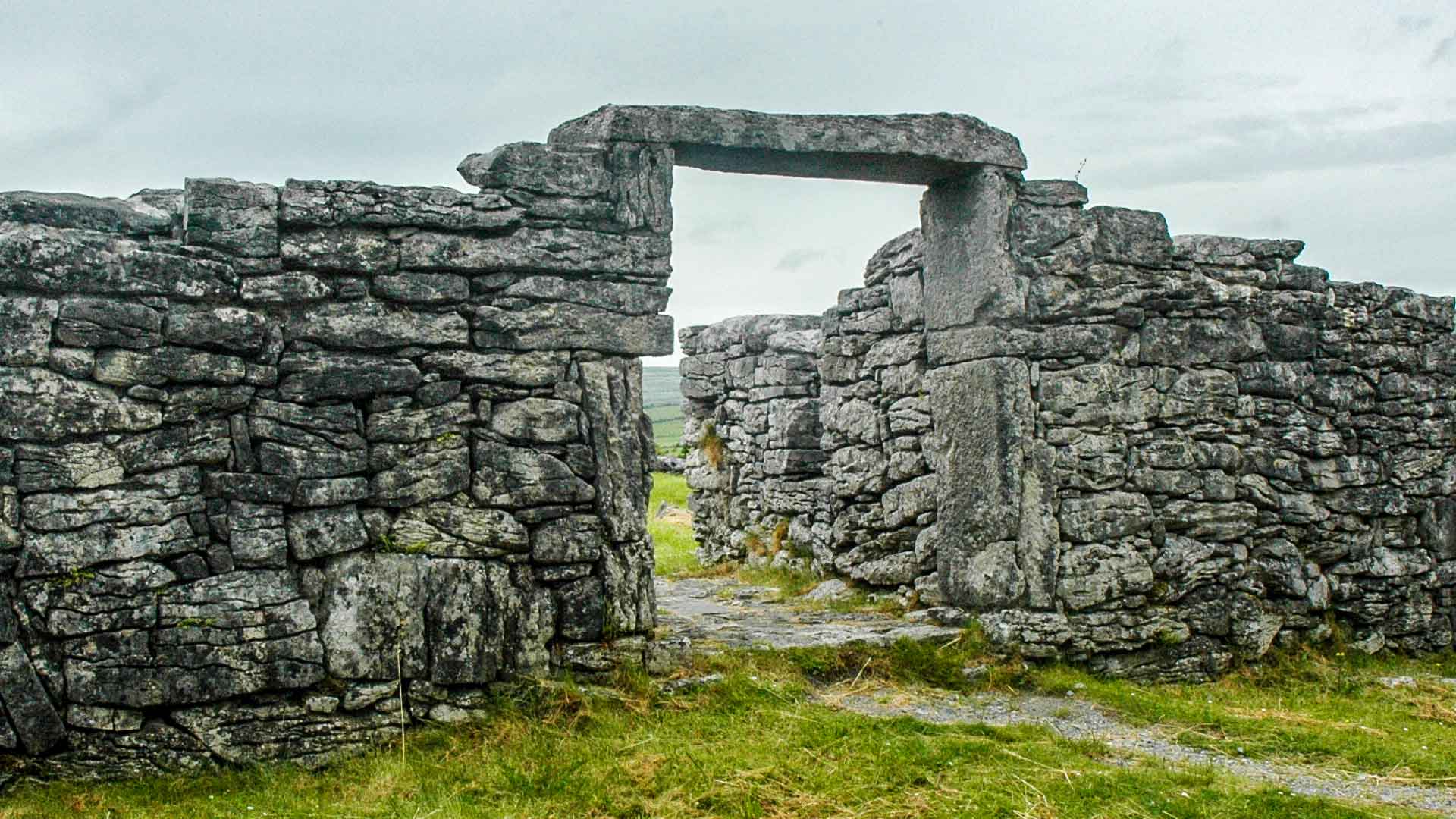 Fairy fort / ringfort in SrueFairy fort / ringfort · 1317 yd
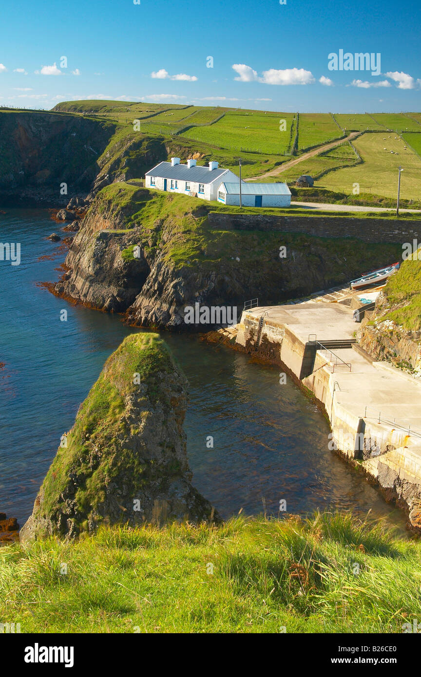 Illaunfadda BegIslet · 1479 yd
 Enclosure in Porridgetown WestEnclosure · 1647 yd
 Illaunfadda MoreIslet · 1665 yd
 Aughnanure Castle (in ruins)Castle, tower house · 1.4 mi
 Brigit's GardenHeritage attraction · 2.5 mi
 Annagh WoodWood · 2.6 mi
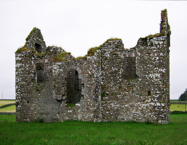 Annaghkeen Castle (in Ruins)Castle, Anglo-Norman masonry castle · 2.8 mi
 Owenriff WayWalking route · 3.3 mi
 BallynacreggaWood · 3.8 mi