What is recorded here
In reclaimed poorly drained pasture, 75m NE of a stream which marks townland boundary with Coolrus. ‘Patrick’s Well’ ( LI038-092---- ) and ringfort (LI038-089----) lie 140m and 210m to the SW respectively. Not marked on the 1840 ed. OSi 6-inch map. Depicted on the 1897 ed. OSi 25-inch map as circular-shaped platform (dims. c. 31m N-S; 32m E-W) defined by a scarp. Monument visible as circular-shaped cropmark truncated at SE and SW by a field boundary running E-W on OSi orthophotograph taken between 2005-12 and on Google Earth orthoimages.
See attached Google Earth orthoimages.
Compiled by: Fiona Rooney
Date of upload: 19 April 2021
The monument record does not grant public access. Check the route and ask the landowner before entering private land.
- What survives
- Recorded monument
Places near here
 Patricks WellHoly well · 186 yd
 Kilbreedy Burial Gd (for Children)Children's burial ground · 1189 yd
 Church (in ruins)Church · 1.1 mi
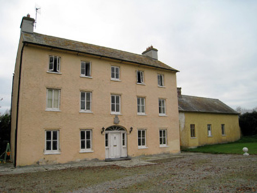 Cooleen Housebridge, country house · 1.1 mi
 Bruree Castle Lower (in ruins)Castle, Anglo-Norman masonry castle · 1.9 mi
 Athlacca Ho. (in ruins)Castle, unclassified · 2.4 mi
 Saint Derivla's WellSpring · 4.4 mi
 European ashEuropean ash · 4.5 mi
 KnockfeerinaMountain / peak · 4.6 mi
 Our Lady's WellSpring · 5.0 mi
 Famine stoneMemorial · 5.2 mi
 Monasteranenagh AbbeyHeritage attraction · 5.2 mi