
What is recorded here
A hidden circular enclosure sits at the top of an east-facing slope in Kilmoremoy, its shallow scarp now broken by modern graves and dense thicket. It contains eighteenth- and nineteenth-century headstones, a cross-inscribed stone, and a possible bullaun stone leaning against the earth rim. The nearby medieval church and graveyard suggest this was once a sacred or communal place, but no map or name has preserved that memory.
Located on the level top of an E-facing slope, enclosed within a burial ground named ‘League Cemetery’ (MA030-051004-).
This enclosure is not indicated on the 1837 and 1930 OS 6-inch maps. It consists of a slightly raised, roughly circular area (c. 27m N-S; c. 24m E-W) defined by a scarp. The scarp (H 1.2m at E) is well defined at NE−SE, but is difficult to trace at S where it is truncated by modern graves; it is low and poorly defined at SW−NW, and cannot be traced at NW−N, where it is engulfed by a dense thicket of overgrowth.
There are 18th- and 19th-century headstones and grave slabs, as well as a number of low uninscribed grave-markers throughout the interior. In the NE quadrant, a cross-inscribed stone (MA030-051007-) protrudes from the ground, and a possible bullaun stone (MA030-051006-) lies against the enclosure scarp at E. Kilmoremoy graveyard (MA030-05102-), which encloses a medieval church (MA030-05101-), is located 150m down-slope to E.
Compiled by: Jane O’Shaughnessy
Date of upload: 2 February 2021
The monument record does not grant public access. Check the route and ask the landowner before entering private land.
- What survives
- Recorded monument
Places near here
 Church in ruinsChurch · 208 yd
 Cross in Ballina (tirawley By.)Cross · 317 yd
 Battle of Ballinabattle · 640 yd
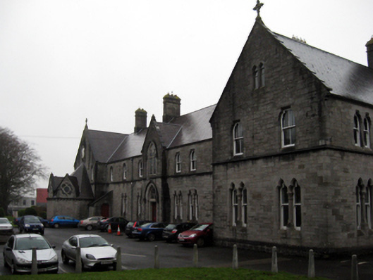 Convent of the Immaculate Conceptionconvent/nunnery · 711 ydHumbert MonumentMemorial · 1148 yd
 CastleCastle, unclassified · 1465 yd
 Belleck CastleCastle, unclassified · 1.0 mi
 Dolmen of the four MaolsArchaeological place · 1.0 mi
 The Marshall Doran CollectionGallery · 1.2 mi
 Belleek WoodsWood · 1.3 mi
 FloretteWreck · 1.5 mi
 Rinphilip PointHeadland · 2.5 mi
Other information
Photo: Credit not shown in the picture search · Rights wording not checked; contact us if this picture should be removed