What is recorded here
In undulating grassland, c. 100m W of the Ahascragh River. Marked on 3rd ed. of OS 6-inch map (1946) as a subcircular enclosure (E-W c. 50m, N-S c. 40m); no visible surface trace survives. A large quarry occupies the site.
The above description is derived from the published 'Archaeological Inventory of County Galway Vol. II - North Galway'. Compiled by Olive Alcock, Kathy de hÓra and Paul Gosling (Dublin: Stationery Office, 1999).
Date of upload: 05 August 2010
The monument record does not grant public access. Check the route and ask the landowner before entering private land.
- What survives
- Recorded monument
Places near here
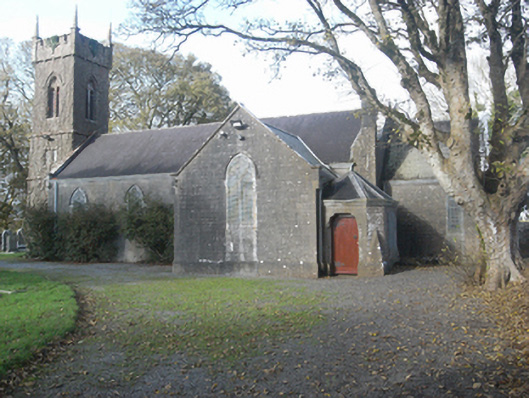 Saint Catherine's Church (Ahascragh)church/chapel · 742 yd
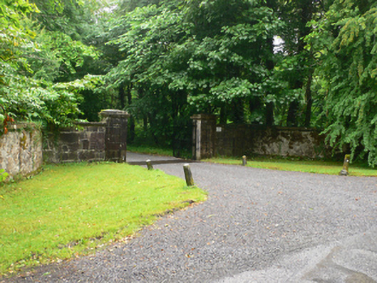 Weston Housedemesne walls/gates/railings · 783 yd
 Enclosure in LowvilleEnclosure · 905 yd
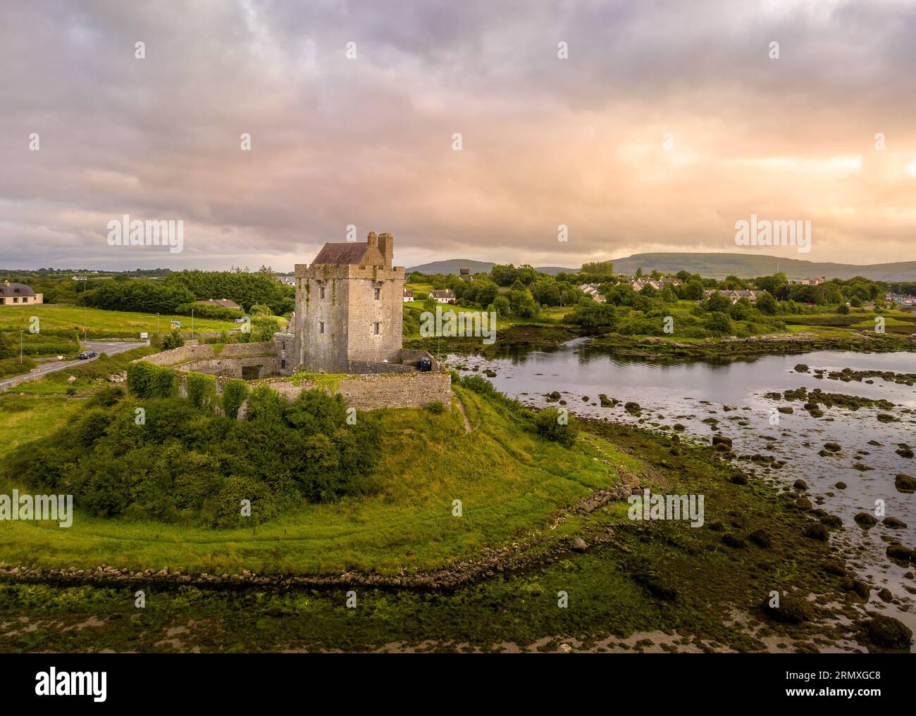 LisnarnooFairy fort / ringfort · 929 yd
 LismoneyForest · 1.3 mi
 European ashEuropean ash · 1.5 mi
 Killure Castle (in ruins)Castle, tower house · 2.2 mi
 Clonbrock CastleCastle, tower house · 2.8 mi
 Clooncoran IslandIsland · 3.5 mi
 Inch IslandIsland · 5.0 mi
 Kilconnell AbbeyHeritage attraction · 5.3 mi
 Battle of Aughrim Interpretative CentreMuseum · 6.3 mi