
What is recorded here
Located in a relatively flat location (c. 98m OD) in a gently undulating landscape characterised by tillage and pastoral farming, and c. 520m SE of the summit of a low gently sloping hillock (c. 110m OD). Land slopes gently away to the S towards a small tributary of the Dereen River, which is located c. 150m to S. Sited c. 215m SE of the site of a ringfort (WI042-016----), now levelled (after 1990) but survives as a cropmark, and c. 1.6kms WNW of the remains of St. Finnian’s Church\Aghowle Church (WI042-019001-), an important early ecclesiastical site with numerous related monuments including a high cross and 20+ cross slabs, (WI042-019002 to WI042-019033). This large enclosure is clearly visible on Google Earth aerial photograph of the site (July 2021). It consists of a subcircular feature (ext. dims c. 73.7m N-S x 80.1m E-W) that is defined by a continuous ditch (Wth c. 2.45m to N and c. 2.57 to S) that can largely be traced along the entire circuit on the above aerial photograph apart from a small section to the E (now within a different field – July 2021). No definitive evidence for an entrance gap. There is possibly the remains of a smaller circular enclosure cropmark overlapping the ditch of this large enclosure to the SW quadrant.
Compiled by: T.J. O'Meara based on details provided by Jean-Charles Caillère
Uploaded on: 29/06/2023
The monument record does not grant public access. Check the route and ask the landowner before entering private land.
- What survives
- Recorded monument
Places near here
 IndicatedEnclosure · 925 yd
 SycamoreSycamore · 1123 yd
 European BeechEuropean Beech · 1123 yd
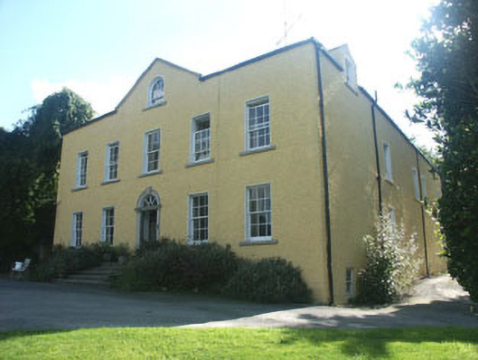 Money Housecountry house · 1178 yd
 Grave Yd.Graveyard · 1.0 mi
 Aghowle Church (in Ruins)Church · 1.0 mi
 CastleCastle, motte and bailey · 2.2 mi
 Church (in ruins), GraveyardChurch · 3.0 mi
 Altamont House and GardensHeritage attraction · 4.2 mi
 Altamont Gardens MapVisitor information · 4.3 mi
 Ballynultagh HillMountain / peak · 4.4 mi
 Clonmore Castle (in Ruins)Castle, Anglo-Norman masonry castle · 4.6 mi
Other information
Photo: Credit not shown in the picture search · Rights wording not checked; contact us if this picture should be removed