What is recorded here
At the edge of the summit of a ridge in very undulating, hilly terrain, under pasture. Though also levelled, an enclosure (TS081-019----) would have been clearly visible on the opposite ridge to the SE. Enclosure is levelled though the area it formerly occupied was roughly known by present landowner. The monument is depicted as a roughly circular enclosure on the 1st (1840) and 2nd (1906) ed. OS 6-inch map (diam. c. 33m N-S; 35m E-W) and is shown bisected by a contour, implying it was on the edge of the summit of the ridge, sloping SE. There is no visible trace of the monument above ground.
Compiled by: Jean Farrelly
Date of upload: 07 January 2014
This remains an important historical record, but the official description says the monument is no longer visible or has been destroyed. The monument record does not grant public access. Check the route and ask the landowner before entering private land.
- What survives
- No visible remains or recorded as destroyed
Places near here
 Enclosure in LissakyleEnclosure · 292 yd
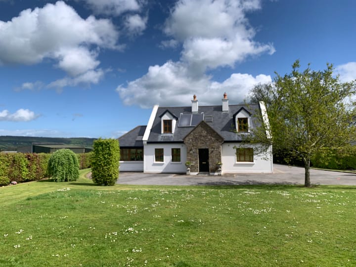 LissawanFairy fort / earthen ringfort · 443 yd
 Pedunculate OakPedunculate Oak · 686 yd
 Cottagehill WoodForest · 725 yd
 Swiss Cottagecottage ornee · 934 yd
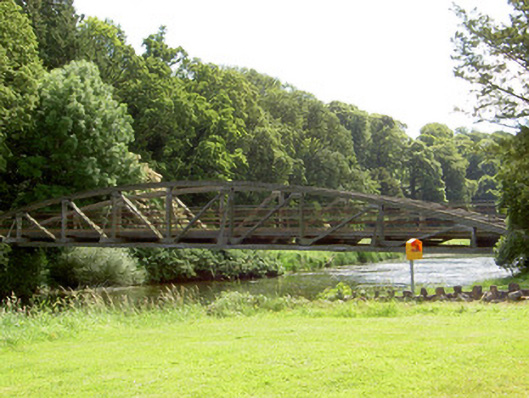 bridgebridge · 941 yd
 Castle (in ruins)Castle, unclassified · 1.3 mi
 Cahir CastleHeritage attraction · 1.6 mi
 Bawn in RochestownBawn · 1.7 miSiege of Cahir Castlesiege · 1.8 mi
 Woodcock HillMountain / peak · 1.9 mi
 Caher AbbeyHeritage attraction · 2.0 mi