What is recorded here
Reported by Jean-Charles Caillere; in level tillage and visible on GeoHive MapGenie aerial imagery (2004-2006) as an originally roughly circular area (diam. c. 40m) defined by the cropmark of a fosse NW-N-SSW, with the SW sector apparently truncated by a since levelled, straight field boundary running NW-SE.
See attached image: KD037-099----_01 Snip of Digital Globe aerial image.
Compiled by: Gearóid Conroy
Date of upload: 14 June 2023
The monument record does not grant public access. Check the route and ask the landowner before entering private land.
- What survives
- Recorded monument
Places near here
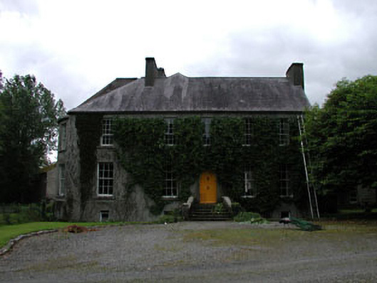 Millbrookmiller's house · 675 yd
 Cross in Kilkea DemesneCross · 709 yd
 MoatCastle, motte · 744 yd
 Kilkea CastleCastle, tower house · 782 yd
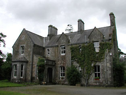 Kilkea Churchrectory/glebe/vicarage/curate's house · 799 yd
 Enclosure in Kilkea UpperEnclosure · 1076 yd
 Lorcán Ó TuathailMemorial · 1681 yd
 Mullaghreelan WoodForest · 1736 yd
 Dollardstown WoodForest · 1.1 mi
 ProclamationMemorial · 3.1 mi
 Castledermot Round TowerHeritage attraction · 3.3 mi
 Franciscan FriaryHeritage attraction · 3.3 mi
Other information
Photo: Credit not shown in the picture search · Rights wording not checked; contact us if this picture should be removed