What is recorded here
On level ground in ploughed field. Kilcooly Abbey (TS043-034001-) is c. 150m to the NW. There are several enclosures in the vicinity including TS043-034008- 115m to the SE, TS043-034009- 58m to the S, TS043-034016- 336m to the E and TS043-034017m 284m to the SSE. An aerial photograph (GB89.AD.07) shows the cropmark of a circular enclosure defined by a fosse. The field has been ploughed and left, leaving the surface very disturbed. The enclosure is not visible above ground level. The enclosure is not depicted on a 1749 map of the estate (Neely 2005 Revised editon, 50).
Compiled by: Jean Farrelly
Date of upload: 18 February 2013
This monument is subject to a preservation order made under the National Monuments Acts 1930 to 2014 (PO no. 3/2010).
The monument record does not grant public access. Check the route and ask the landowner before entering private land.
- What survives
- Recorded monument
Places near here
 Enclosure in KilcoolyabbeyEnclosure · 126 yd
 Kilcooly AbbeyHeritage attraction · 163 yd
 Kilcooly Abbey (in ruins)Religious house, Cistercian monks · 187 yd
 TombTomb, effigial · 197 yd
 KilcooleyForest · 742 yd
 Rapefield WoodForest · 975 yd
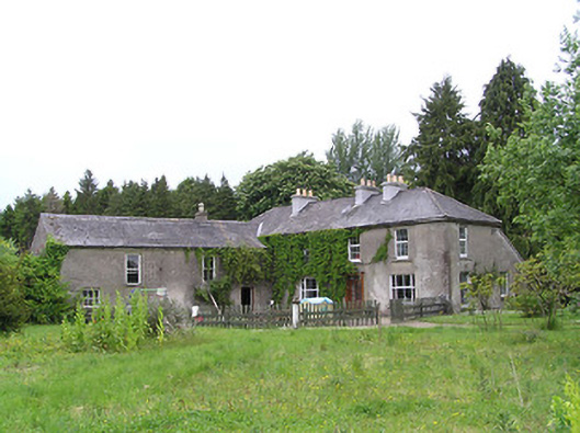 George's Parkhouse · 1615 yd
 Clonamicklon Castle (in ruins)Bawn · 1.2 mi
 Grange Castle (in ruins)Castle, tower house · 1.3 mi
 Bregaun HillMountain / peak · 2.0 mi
 Warhouse HillMountain / peak · 4.0 mi
 DelaneyMemorial · 5.6 mi