What is recorded here
On level ground in ploughed field. Kilcooly Abbey is c. 200m to the NNW. There are several enclosures in the vicinity including TS043-034008- 104m to the E, TS043-034015- 58m to the N, TS043-034016- 342m to the E and TS043-034017- 240m to the SE. This circular enclosure was identified on an aerial photograph (CUCAP APD 58, July 1966). The field has been ploughed and left, leaving the surface very disturbed. The enclosure is not visible above ground level. The enclosure is not depicted on a 1749 map of the estate (Neely 1983, 2005 Reprint, 50).
Compiled by: Jean Farrelly
Date of upload: 18 February 2013
This monument is subject to a preservation order made under the National Monuments Acts 1930 to 2014 (PO no. 3/2010).
The monument record does not grant public access. Check the route and ask the landowner before entering private land.
- What survives
- Recorded monument
Places near here
 Enclosure in KilcoolyabbeyEnclosure · 115 yd
 Kilcooly AbbeyHeritage attraction · 216 yd
 Kilcooly Abbey (in ruins)Religious house, Cistercian monks · 241 yd
 Graveslab in KilcoolyabbeyGraveslab · 253 yd
 KilcooleyForest · 782 yd
 Rapefield WoodForest · 936 yd
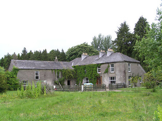 George's Parkhouse · 1677 yd
 Clonamicklon Castle (in ruins)Bawn · 1.1 mi
 Grange Castle (in ruins)Castle, tower house · 1.2 mi
 Bregaun HillMountain / peak · 1.9 mi
 Warhouse HillMountain / peak · 4.0 mi
 DelaneyMemorial · 5.6 mi