
What is recorded here
Kilcaimin, Seafield: A vast rectangular enclosure once stood on the ridge, its earthworks now erased by time and pasture. Tradition whispers of a castle hidden beneath the grass, guarding the slope with quiet patience. What remains is memory shaped by soil, wind, and the lives that moved through it before the land forgot their names.
On the N-facing slope of a ridge in pastureland. Classified by McCaffrey (1952, 133, no. 19a) as
a rectangular ‘Earthen fort’ (c. 61.2m E-W; c. 30.4m N-S) which was defined along the N side by a slightly curving bank and external fosse and along E and W sides by a scarp. The S end of the monument merged with the hillside. At S end of the interior, a raised inner platform (27.4m N-S; 18.3m E-W) was evident, which also merged into the hillside. Traces of an irregular curving bank were also evident beyond the scarp on the E side. Holt (1912, 243) referred to the ‘vague tradition of a castle [GA095-052002-] here’ and noted the strategic location of the site. No visible surface trace survives.
Compiled by: Galway Archaeological Survey, UCG
Date of upload: 1 April 2019
The monument record does not grant public access. Check the route and ask the landowner before entering private land.
- What survives
- Recorded monument
Places near here
 CastleCastle, unclassified · 60 yd
 CaheracullinFairy fort / stone ringfort · 720 yd
 Fairy fort / earthen ringfort in Rinville EastFairy fort / earthen ringfort · 850 yd
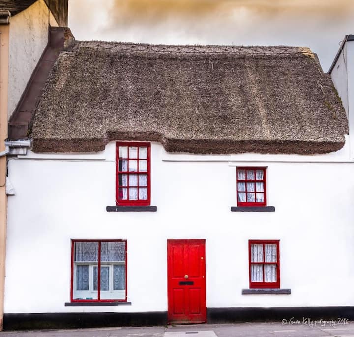 Stafort HouseRuins · 1402 yd
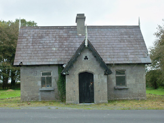 Rinville Parkgate lodge · 1483 yd
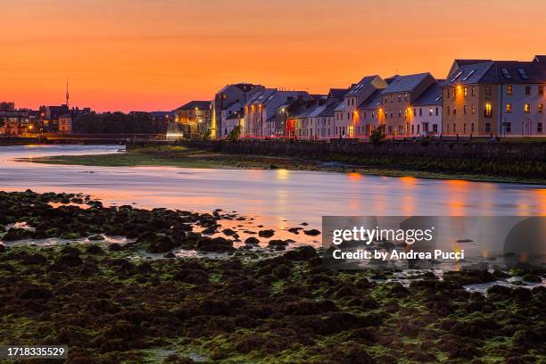 Bawn in Cregganna MoreBawn · 1.1 mi
 South WoodWood · 1.3 mi
 North WoodWood · 1.4 mi
 Leadmine HillMountain / peak · 2.0 mi
 Goose IslandIslet · 3.0 mi
 Ardfry PointHeadland · 3.0 mi
 InishcorraIslet · 3.2 mi
Other information
Photo: Credit not shown in the picture search · Rights wording not checked; contact us if this picture should be removed