
What is recorded here
On the N-facing slope of a ridge in pastureland. Classified by McCaffrey (1952, 133, no. 19a) as
a rectangular ‘Earthen fort’ (c. 61.2m E-W; c. 30.4m N-S) which was defined along the N side by a slightly curving bank and external fosse and along E and W sides by a scarp. The S end of the monument merged with the hillside. At S end of the interior, a raised inner platform (27.4m N-S; 18.3m E-W) was evident, which also merged into the hillside. Traces of an irregular curving bank were also evident beyond the scarp on the E side. Holt (1912, 243) referred to the ‘vague tradition of a castle [GA095-052002-] here’ and noted the strategic location of the site. No visible surface trace survives.
Compiled by: Galway Archaeological Survey, UCG
Date of upload: 1 April 2019
A local fairy fort (ringfort/rath); wider significance not recorded.
The monument record does not grant public access. Check the route and ask the landowner before entering private land.
- What survives
- Recorded monument
Places near here
 CastleCastle, unclassified · 60 yd
 CaheracullinFairy fort / stone ringfort · 720 yd
 Fairy fort / earthen ringfort in Rinville EastFairy fort / earthen ringfort · 850 yd
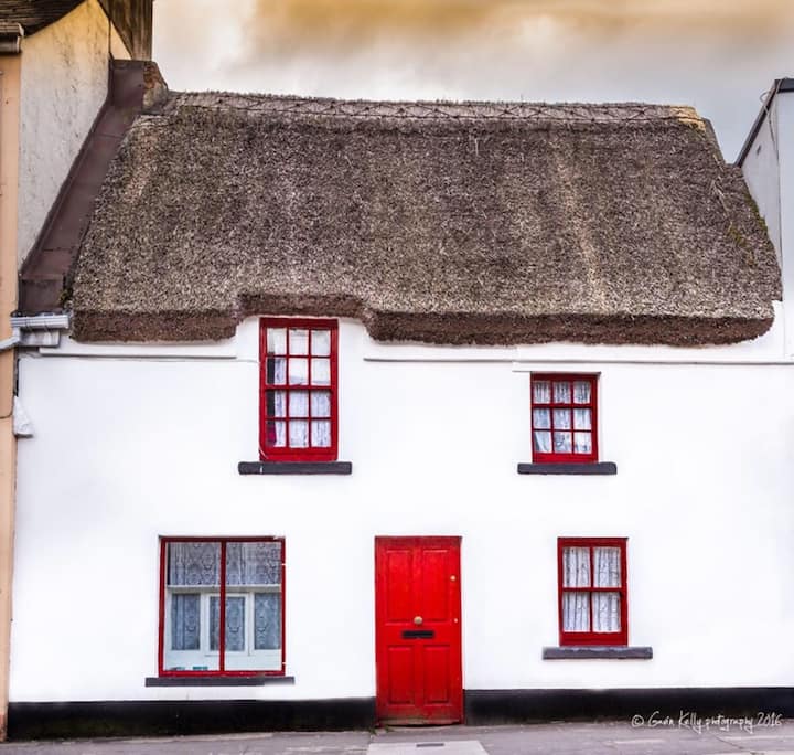 Stafort HouseRuins · 1402 yd
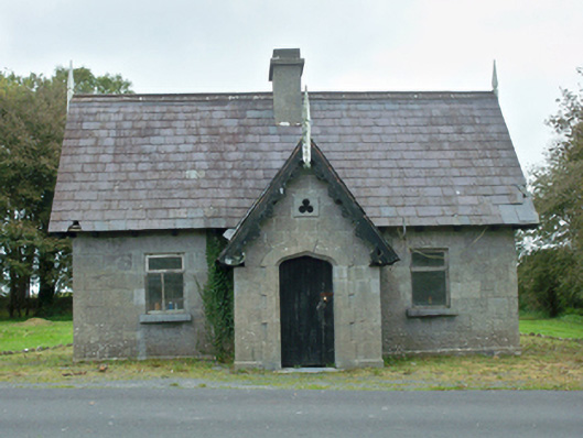 Rinville Parkgate lodge · 1483 yd
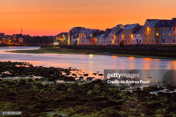 Bawn in Cregganna MoreBawn · 1.1 mi
 South WoodWood · 1.3 mi
 North WoodWood · 1.4 mi
 Leadmine HillMountain / peak · 2.0 mi
 Goose IslandIslet · 3.0 mi
 Ardfry PointHeadland · 3.0 mi
 InishcorraIslet · 3.2 mi
Other information
Photo: Credit not shown in the picture search · Rights wording not checked; contact us if this picture should be removed