
What is recorded here
Keelkill in Murrisk By. holds two rectangular enclosures set into blanket bog, one about thirty-seven metres long and the other sixty-five metres to the north-east. They are young enough that cultivation ridges still show inside them, suggesting gardens or field plots rather than ancient monument work. The wide bog swallows most human traces, yet these clear edges remain visible from above, marking a time when people forced life out of the wet dark.
Located within an expanse of blanket bog, close to the SE margins of the bog. Not indicated on the 1838 and 1920 OS 6-inch maps. This rectangular enclosure (c. 37m NE–SW; c. 15m NW–SE) is one of two enclosures visible in an aerial photograph (OS 6 9551 -2; Roll 211, pr. 18) which were listed under a single number in the RMP (1997). The enclosures have been allocated individual numbers; the other enclosure (MA098-024001-) is located c. 65m to NNE. A field inspection in 1997 determined that the enclosures, in which cultivation ridges are evident, are field plots/gardens of relatively recent date.
Compiled by Jane O’Shaughnessy
Date of upload: 16 August 2012
The monument record does not grant public access. Check the route and ask the landowner before entering private land.
- What survives
- Recorded monument
Places near here
 Enclosure in Carrowmore (murrisk By., Aghagower. Par.)Enclosure · 1242 yd
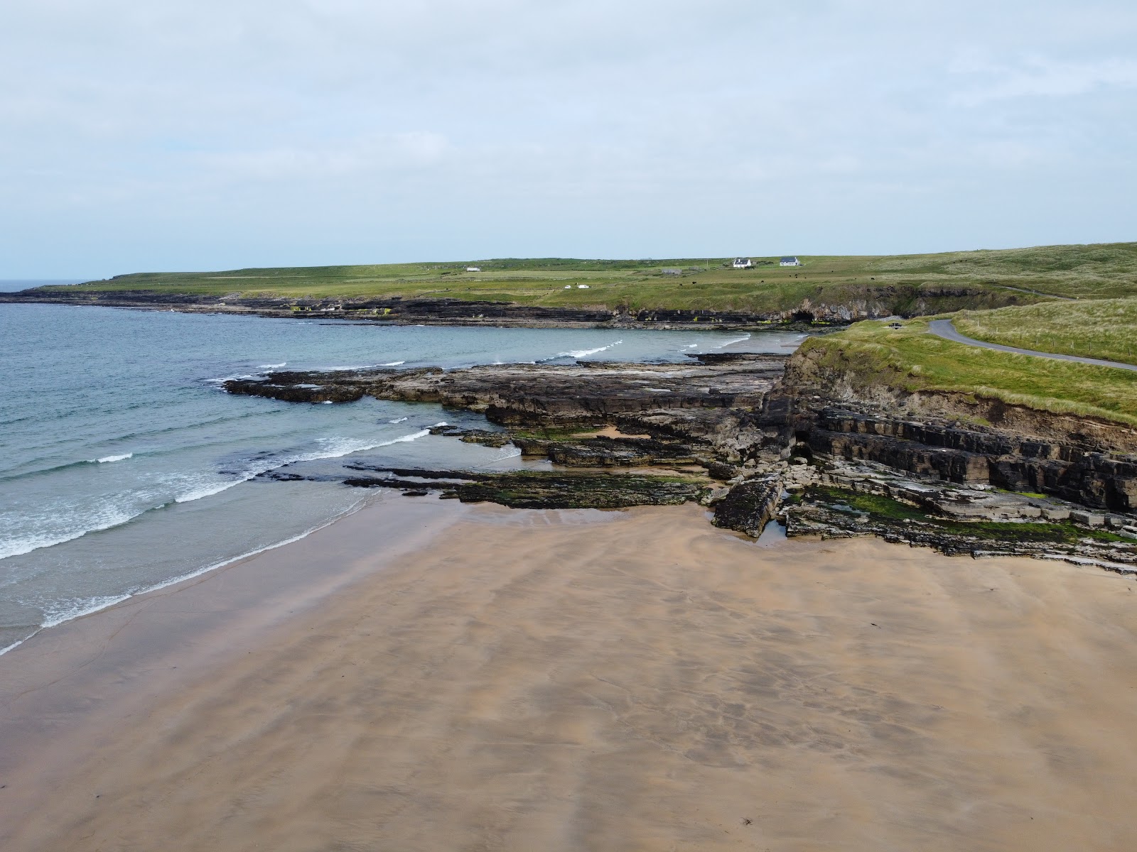 IndicatedEnclosure · 1296 yd
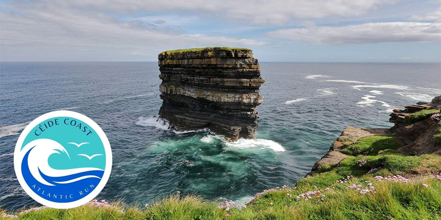 KilleennimheChurch · 1.7 mi
 Derrinkee Bridgebridge · 2.3 mi
 Brackloon WoodsForest · 2.9 mi
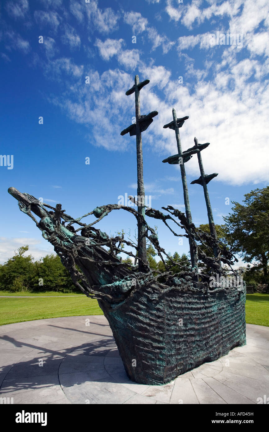 Famine MemorialMemorial · 3.9 mi
 Carney's Cottage 1863Memorial · 4.0 mi
 Crott MountainMountain / peak · 4.8 mi
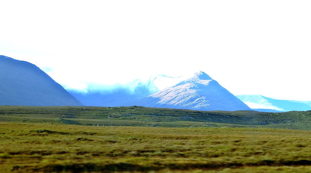 Tawny RowerMountain / peak · 5.2 mi
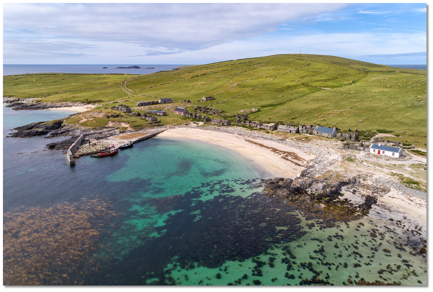 Annagh IslandIslet · 5.5 mi
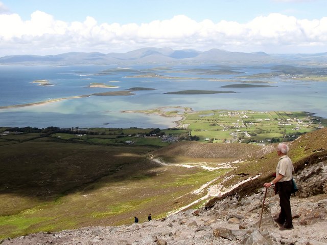 Croagh Patrick Pilgrim TrailWalking route · 5.6 mi
 CastleCastle, unclassified · 6.0 mi
Other information
Photo: Credit not shown in the picture search · Rights wording not checked; contact us if this picture should be removed