What is recorded here
On broad, flat-topped crest of hill, sloping slightly to E, under pasture, in undulating terrain. Enclosure identified on aerial photograph (GSI 16-4-1974, S.633/4), situated immediately SE of an enclosure (TS076-032003-). There is a slight rise in the field in this general area which may be the remains of the enclosure, however, edges are not defined and it is possible that this is a natural rise.
Compiled by: Jean Farrelly
Date of upload: 26 August 2011
The monument record does not grant public access. Check the route and ask the landowner before entering private land.
- What survives
- Recorded monument
Places near here
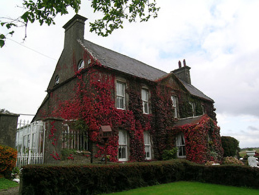 Keylong Househouse · 848 yd
 Bawn in KedrahBawn · 954 yd
 Short Castle (in ruins)Castle, tower house · 998 yd
 Kedrah FortArchaeological place · 1039 yd
 Mortlestown Church (in ruins)Church · 1356 yd
 EnclosureEnclosure, large enclosure · 1.6 mi
 Caher AbbeyHeritage attraction · 2.2 mi
 Siege of Cahir Castlesiege · 2.3 miCahir CastleHeritage attraction · 2.4 mi
 European YewEuropean Yew · 3.3 mi
 Cottagehill WoodForest · 3.3 mi
 Slieveanard NE TopMountain / peak · 4.4 mi