What is recorded here
On crest of broad, flat-topped hill, sloping slightly to E, under pasture, in undulating terrain. Monument identified as enclosure on aerial photograph (GSI 16-4-1974 S.633/4), located immediately SE and possibly conjoined with an enclosure (TS076-032002-). No visible trace of enclosure above ground.
Compiled by: Jean Farrelly
Date of upload: 26 August 2011
This remains an important historical record, but the official description says the monument is no longer visible or has been destroyed. The monument record does not grant public access. Check the route and ask the landowner before entering private land.
- What survives
- No visible remains or recorded as destroyed
Places near here
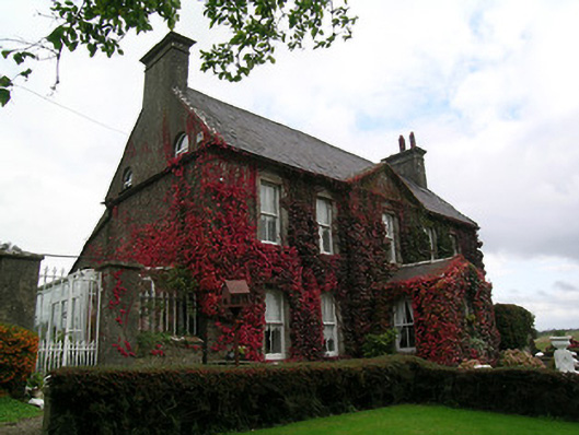 Keylong Househouse · 840 yd
 Bawn in KedrahBawn · 930 yd
 Short Castle (in ruins)Castle, tower house · 1018 yd
 Kedrah FortArchaeological place · 1020 yd
 Mortlestown Church (in ruins)Church · 1374 yd
 EnclosureEnclosure, large enclosure · 1.6 mi
 Caher AbbeyHeritage attraction · 2.2 mi
 Siege of Cahir Castlesiege · 2.3 miCahir CastleHeritage attraction · 2.4 mi
 European YewEuropean Yew · 3.3 mi
 Cottagehill WoodForest · 3.3 mi
 Slieveanard NE TopMountain / peak · 4.4 mi