What is recorded here
On crest of broad, flat-topped hill, sloping slightly to E, under pasture, in undulating terrain. Enclosure (TS076-032001-) located 3m to NW. Irregularly shaped enclosure (diam. 34.5m N-S; 38.3m E-W) defined by earthen and stone bank (Wth 1.7-1.8m crest, 2.35-3.7m base; int. H 0.3-0.45m; ext. H 0.9-1.26m on N and S side respectively) and slight ext. fosse (Wth 1.5m; D 0.1). NW and SW angles are rounded. N side kinks in opposite the E bank of neighbouring moated site (TS076-032001-). The N bank, with high stone content, continues to run straight towards E. The bank in the E sector appears to have been levelled, slight rise indicating former line of bank. Remaining N, S and W sides are well defined by well-preserved bank with high stone content towards the crest, possibly the remains of a wall surmounting the earth and gravel bank. Lot of nettles in interior and concentration at ext. base of bank in E quadrant, possibly indicating former fosse. Depression outside S end of W sector probably result of small scale quarrying. No evidence of entrance but this may have been denuded on E side. Enclosure appears on aerial photograph (GSI 16-4-1974 S.633/4).
Compiled by: Jean Farrelly
Date of upload: 26 August 2011
The monument record does not grant public access. Check the route and ask the landowner before entering private land.
- What survives
- Recorded monument
Places near here
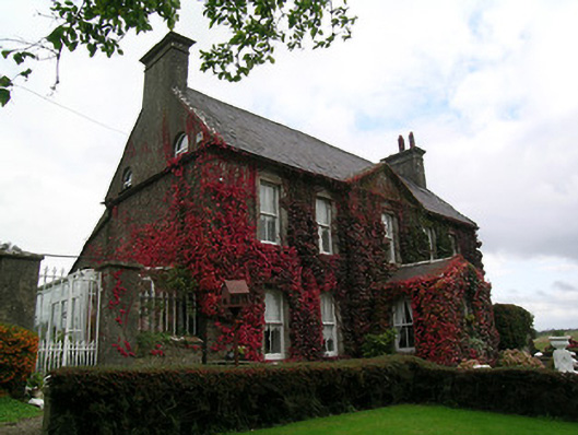 Keylong Househouse · 836 yd
 Bawn in KedrahBawn · 880 yd
 Kedrah FortArchaeological place · 989 yd
 Short Castle (in ruins)Castle, tower house · 1053 yd
 Mortlestown Church (in ruins)Church · 1406 yd
 EnclosureEnclosure, large enclosure · 1.6 mi
 Caher AbbeyHeritage attraction · 2.1 mi
 Siege of Cahir Castlesiege · 2.3 miCahir CastleHeritage attraction · 2.4 mi
 European YewEuropean Yew · 3.3 mi
 Cottagehill WoodForest · 3.3 mi
 Slieveanard NE TopMountain / peak · 4.4 mi