
What is recorded here
Geophysical survey (Licence no. 05R062) undertaken in advance of a proposed landfill site identified a sub-circular enclosure (c.40m diam.) with possible internal features (Lohan 2006, 7).
Compiled by: Christine Baker
Date of upload: 4 February 2015
The monument record does not grant public access. Check the route and ask the landowner before entering private land.
- What survives
- Recorded monument
Places near here
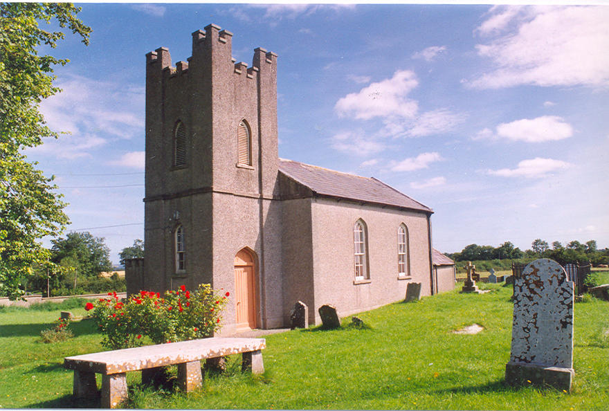
 Ecclesiastical site in NevittEcclesiastical site · 333 yd
 Burnt mound in BaldrummanBurnt mound · 983 yd
 Picnic AreaPicnic place · 1116 yd
 KilnKiln, corn-drying · 1319 yd
 IndicatedKiln, lime · 1.3 mi
 Hollywood GreatMountain / peak · 1.8 mi
 Man O'War HillMountain / peak · 2.1 mi
 St Kenny's WellSpring · 2.1 mi
 Thomas AsheMemorial · 2.3 mi
 LuskMemorial · 2.5 mi
 Roseville Business ParkVisitor information · 3.8 mi
 Turvey Allotments and Nature ReserveNature reserve · 4.0 mi
Other information
Photo: Credit not shown in the picture search · Rights wording not checked; contact us if this picture should be removed