
What is recorded here
Danish invaders likely sought the Inis Ní enclosure when they took Galway, yet no written account records the event. The trapezoidal stone wall still stands on high ground above Cloonisle Bay, preserving a boundary rather than a familiar fort. Its local name keeps the maritime threat alive long after the invaders disappeared from the official story.
On high ground overlooking Cloonisle Bay to E. A poorly preserved trapezoidal enclosure (L 20m, Wth 6.7-10m), known locally as 'Danes' fort' or 'Liss' (pers. comm. T. Robinson). It is defined by a narrow drystone wall. The interior is overgrown and is cut by a later field wall at NE and S.
The above description is derived from the published 'Archaeological Inventory of County Galway Vol. I - West Galway'. Compiled by Paul Gosling (Dublin: Stationery Office, 1993).
Date of upload: 05 August 2010
The monument record does not grant public access. Check the route and ask the landowner before entering private land.
- What survives
- Recorded monument
Places near here
 St. Mathiass ChapelChurch · 607 yd
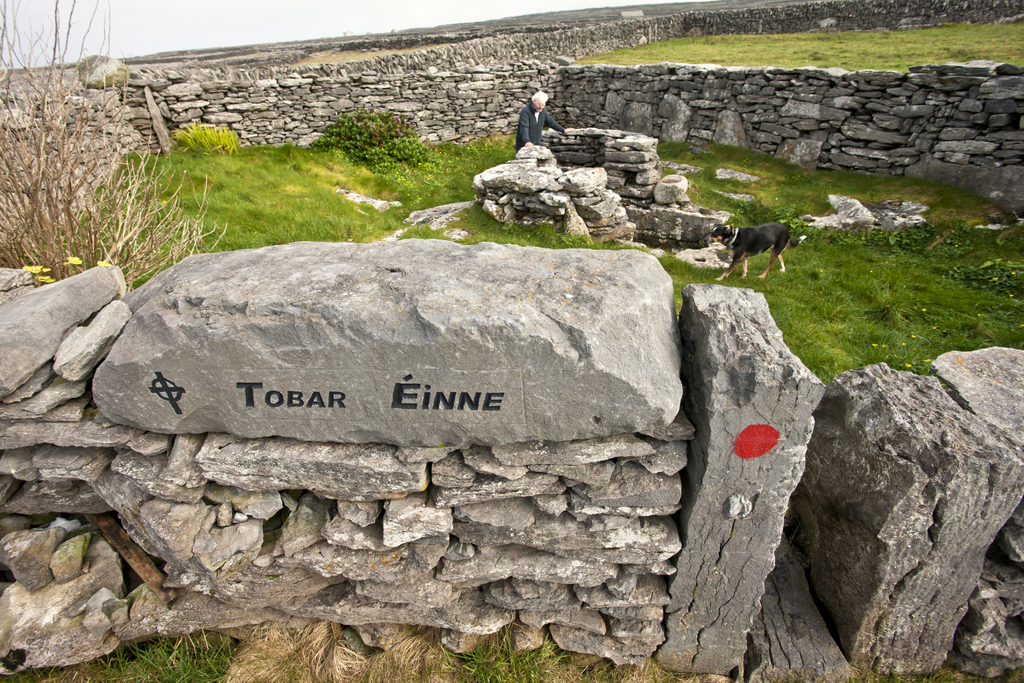 Holy well in Inis NíHoly well · 648 yd
 Inis NíIsland · 745 yd
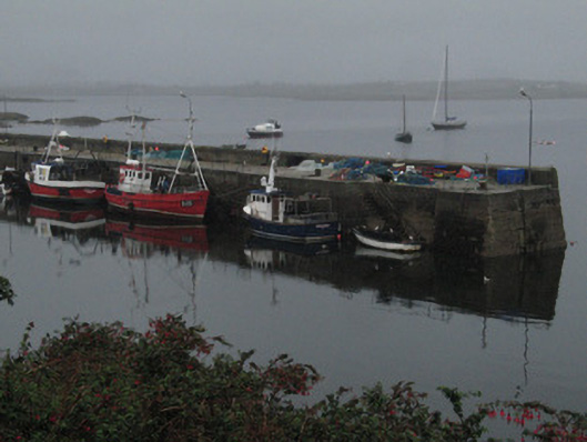 quay/wharfquay/wharf · 1.1 mi
 Roundstone Bay & Island ToursHeritage attraction · 1.1 mi
 Alexander NimmoMemorial · 1.1 mi
 St. Brendans Holy WellHoly well · 1.1 mi
 Rosie McGurranGallery · 1.3 mi
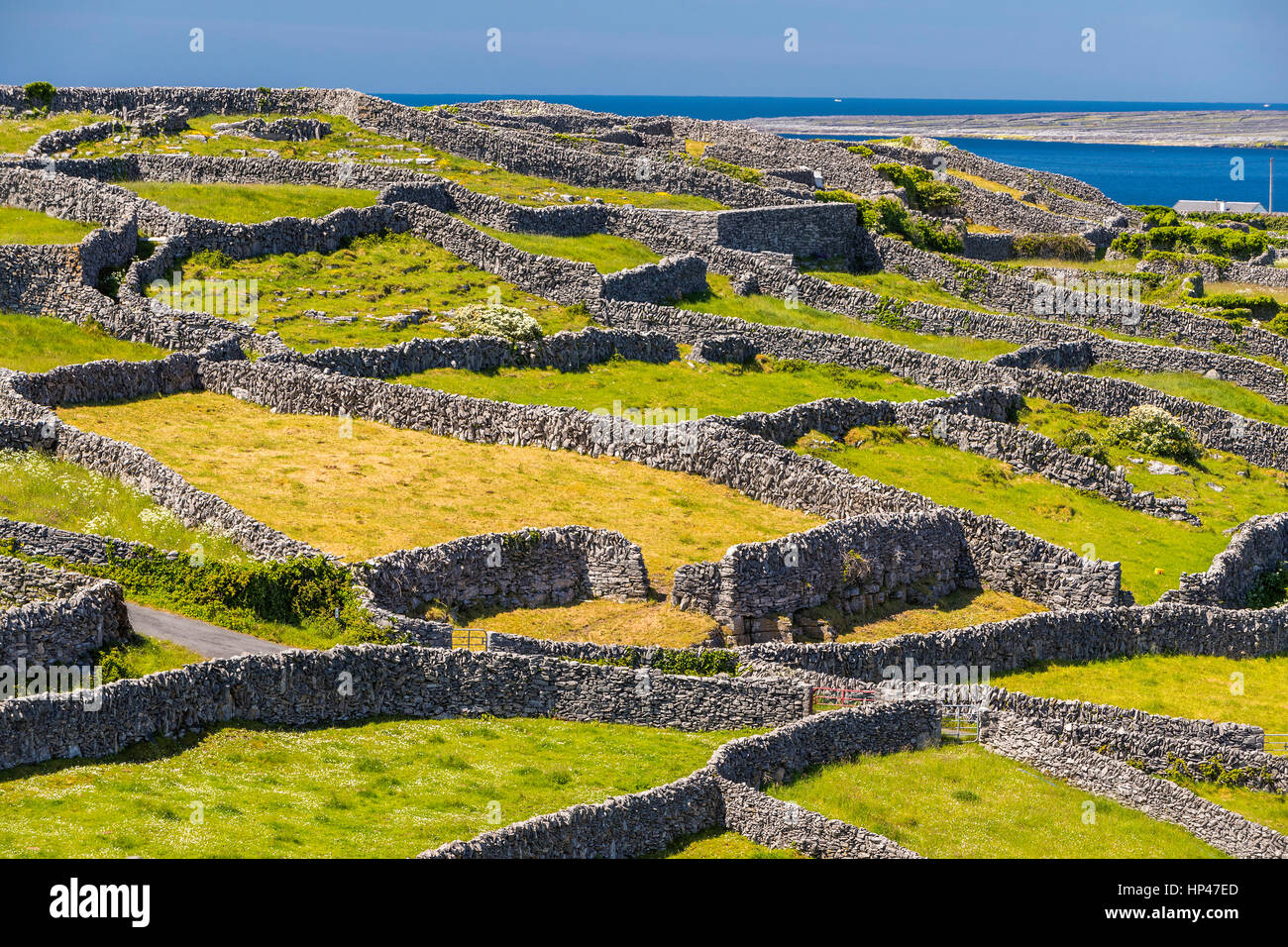 Inis TroigheIslet · 2.2 mi
 Iorras BeagMountain / peak · 2.7 mi
 Trá na FeadóigeBeach / strand · 3.2 mi
 Cnoc GlinsceMountain / peak · 3.6 mi
Other information
Photo: Credit not shown in the picture search · Rights wording not checked; contact us if this picture should be removed