What is recorded here
Situated on a hillock in the valley of a meandering NE-SW section of the Mattock River which is c. 85m to the SE at the closest point. The cropmark of an oval enclosure (dims c. 12m E-W; c. 9m N-S) defined by a single fosse feature with a possible entrance (Wth c. 2m) at SE is visible only on Apple Maps, which utilises a survey conducted by Bluesky International during June 2018. Rath (ME013-067001-) is c. 2m to the NW. It was first reported by Anthony Murphy.
See the attached enhanced aerial view (R) from Apple Maps
Compiled by: Michael Moore
Date of upload: 27 January 2020
The monument record does not grant public access. Check the route and ask the landowner before entering private land.
- What survives
- Recorded monument
Places near here
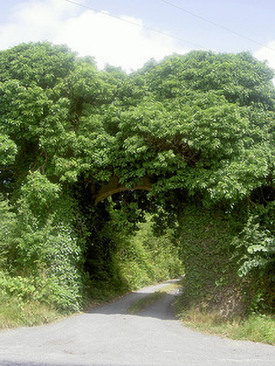 Monasterboice Housedemesne walls/gates/railings · 719 yd
 Drummond TowerCastle · 1015 yd
 Hurcle HillMountain / peak · 1291 yd
 European ashEuropean ash · 1658 yd
 Irish Military Museum And ParkMuseum · 1664 yd
 St. Bernards ChapelChurch · 1664 yd
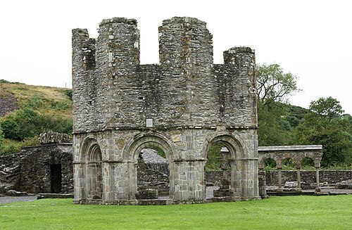 Mellifont AbbeyHeritage attraction · 1749 yd
 Pedunculate OakPedunculate Oak · 1.2 mi
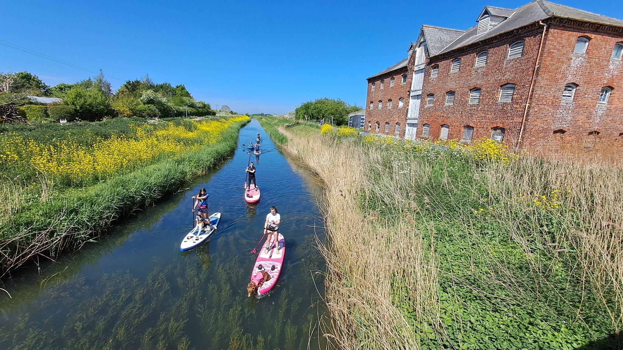 Fulacht fia in CoolforeFulacht fia · 1.3 mi
 Man-made underground passage in BalgatheranMan-made underground passage · 1.4 mi
 BarabonaMountain / peak · 1.6 mi
 Proudfootstown CastleCastle, unclassified · 2.9 mi