What is recorded here
Gurteeniher held a circular enclosure twenty-one metres wide, drawn on the 1842 Ordnance Survey map before a quarry tore it out. That sudden loss turns a familiar Irish field into a warning about how quickly human marks can vanish. The enclosure may have marked a home, a ritual site or a boundary, yet no trace remains to answer the question.
Hachured as circular enclosure (diam. 21m) on OS 6-inch map (1842). Destroyed by quarry.
The above description is derived from the published 'Archaeological Inventory of County Cork. Volume 1: West Cork' (Dublin: Stationery Office, 1992). In certain instances the entries have been revised and updated in the light of recent research.
Date of upload/revision: 14 January 2009
The monument record does not grant public access. Check the route and ask the landowner before entering private land.
- What survives
- Recorded monument
Places near here
 Delish Cascade WalkWalking route · 237 yd
 Enclosure in CeanculligEnclosure · 731 yd
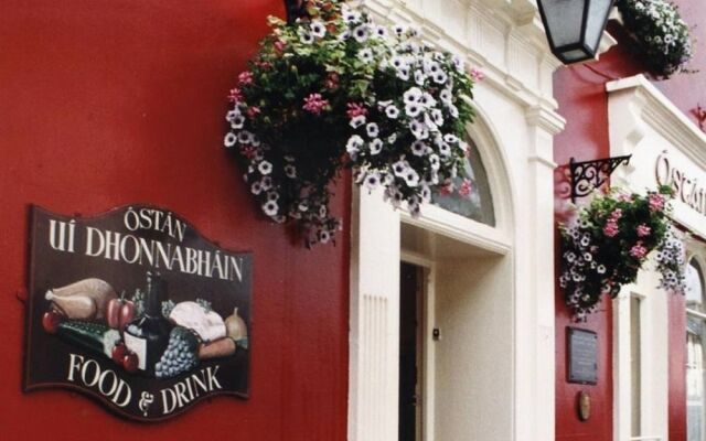 ODonovans SeatMound · 787 yd
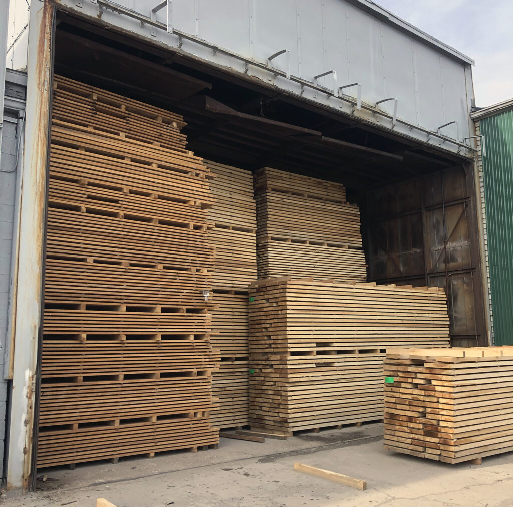 KilnKiln, corn-drying · 1559 yd
 Castle DonovanCastle · 1561 yd
 Castle Donovan (in Ruins)Castle, tower house · 1565 yd
 Drimoleague Heritage Loop WalkWalking route · 1.1 mi
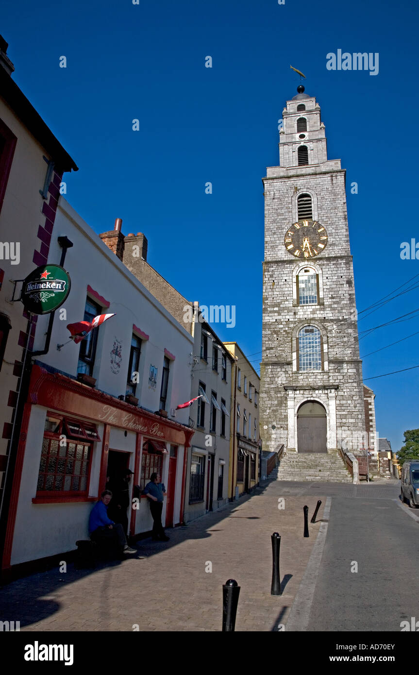 Church (in Ruins)Church · 1.3 mi
 Nowen Hill SW TopMountain / peak · 2.4 mi
 Mullach MéiseMountain / peak · 2.6 mi
 Francis O'Neill PlaqueMemorial · 4.2 mi
 Kealkill stone circleVisitor information · 6.1 mi