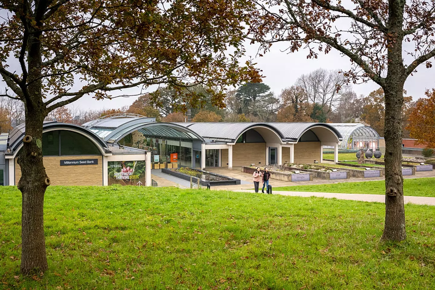
What is recorded here
Indicated as a circular enclosure on the 1st (1839) ed. OS 6-inch map but not depicted on the 1948 revision. The monument had been levelled, however, on satellite imagery (OS Ortho 2005-2012) the fosse of the enclosure (diam. c. 23m) is visible.
See attached:
KK027-040----_01 satellite imagery (OS Ortho 2005-2012)
Compiled by: Jean Farrelly
Date of upload: 3 April 2023
The monument record does not grant public access. Check the route and ask the landowner before entering private land.
- What survives
- Recorded monument
Places near here
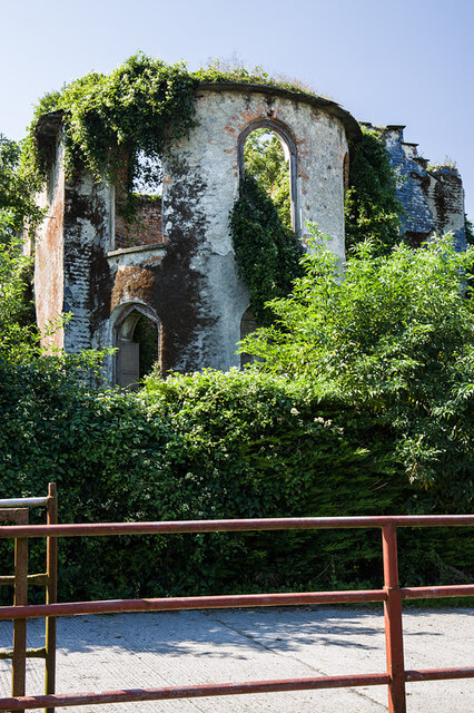 Chapelizod Housecountry house · 304 yd
 Chapelizod Ho.House, 17th century · 306 yd
 Stone CrossCross, High cross · 938 yd
 KilreeArchaeological place · 976 yd
 CastleCastle, unclassified · 1.0 mi
 Pat WalshMemorial · 1.1 mi
 Kells Augustinian PrioryHeritage attraction · 1.8 mi
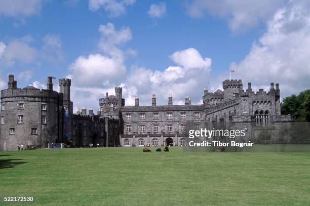 Danganbeg Castle (Site of)Castle, unclassified · 1.8 mi
 Famous Horses of KellsMemorial · 1.8 mi
 Kells Loop WalkWalking route · 1.8 mi
 Kells Priory Mill MuseumMuseum · 2.0 mi
 Lacken WellSpring · 2.1 mi
Other information
Photo: Credit not shown in the picture search · Rights wording not checked; contact us if this picture should be removed