What is recorded here
In rough hill pasture, on a NE-facing slope at the E end of the Coomacheo River valley. A roughly circular area (int. 7.4m N-S; 6.6m E-W) is defined by the remains of a collapsed drystone wall (T 0.55m; H 0.45m) now in a jumbled state. The larger base stones are protruding from the bog and some stones are scattered in the interior, which slopes down to the NE.
The above description is derived from 'The Archaeological Inventory of County Cork. Volume 5' (Dublin: Stationery Office, 2009).
Date of upload: 22 December 2009
The monument record does not grant public access. Check the route and ask the landowner before entering private land.
- What survives
- Recorded monument
Places near here
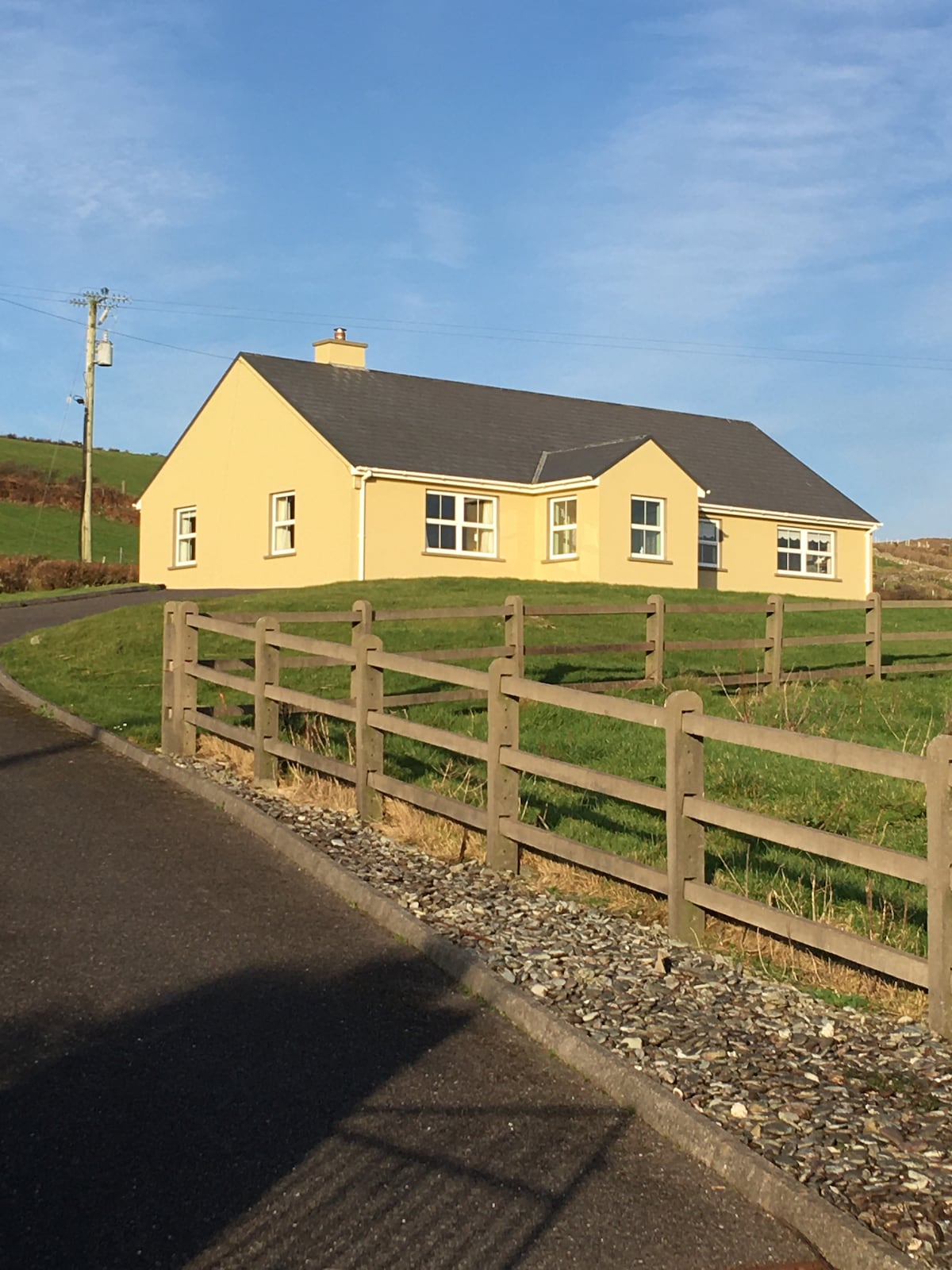 Hut site in GowlaneHut site · 494 yd
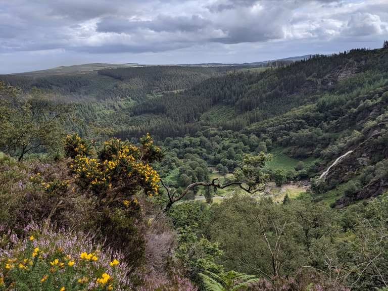 MaulinMountain / peak · 959 yd
 Beara WayWalking route · 1707 yd
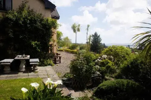 Hut site in RodeenHut site · 1.2 mi
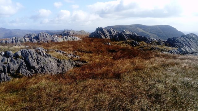 KnocknagreeMountain / peak · 1.4 mi
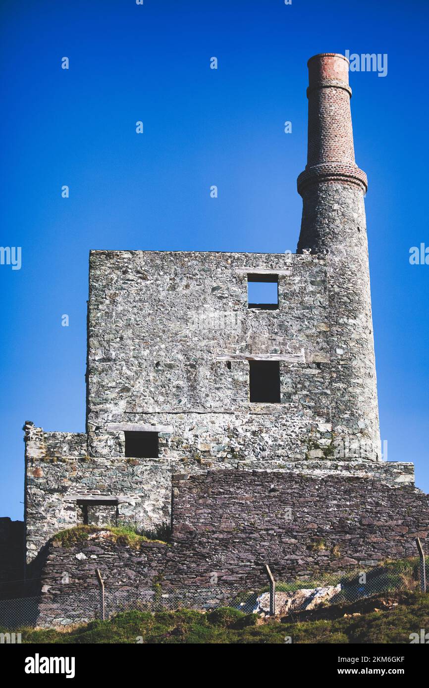 MineMine, copper · 2.4 mi
 Aghakista BrBridge · 3.0 mi
 Minane IslandIslet · 3.3 mi
 Berehaven Battalion MemorialMemorial · 3.5 mi
 Dinish IslandIslet · 3.5 mi
 Wild Atlantic WayVisitor information · 3.5 mi
 Sarah Walker GalleryGallery · 3.6 mi