What is recorded here
On a low rise, in rough pasture with limestone outcrops. A slightly raised roughly rectangular area defined by a scarp (H 1m) along the slightly curved W side, by a linear field boundary on the E side and by a low linear sod-covered wall (Wth 2.8m; int. H 0.45m; ext. H 0.55m) elsewhere. The interior is bisected on the N-S axis by a low wall (Wth 2.6m) and the E half (7.4m E-W; 10.5m N-S) is c. 0.4m higher than the W half (11.5m E-W; 11m N-S). The remnant of a linear field boundary (long axis N-S) extends S from the W end of the S side. A rath (SL025-010----) lies c. 70m to N.
The above description is derived from the published 'Archaeological Inventory of County Sligo' compiled by Ursula Egan, Elizabeth Byrne, Mary Sleeman with Sheila Ronan and Connie Murphy (Dublin Stationery Office, 2005).
Date of upload: 18 January 2008
The monument record does not grant public access. Check the route and ask the landowner before entering private land.
- What survives
- Recorded monument
Places near here
 Hut site in CarrowgavneenHut site · 408 yd
 Man-made underground passage in CarrowgavneenMan-made underground passage · 747 yd
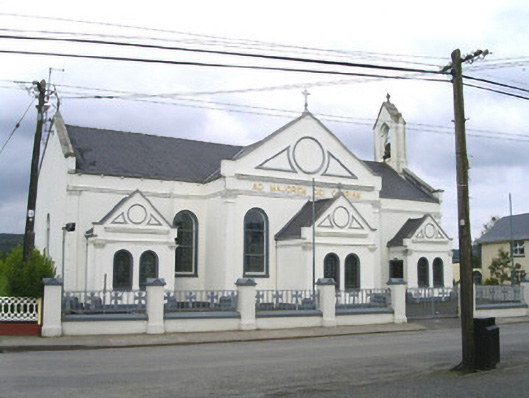 Catholic Church of the Sacred Heart and Saint Josephchurch/chapel · 1.0 mi
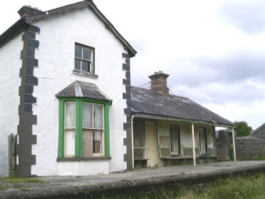 Leyny Railway Stationrailway station · 1.6 mi
 CloonaghMountain / peak · 2.3 mi
 DoomoreMountain / peak · 2.5 mi
 Pigeonpark WoodForest · 2.9 mi
 Valley WoodForest · 3.2 mi
 Moymlough Castle (in Ruins)Castle, tower house · 3.2 mi
 RinnatalleenHeadland · 4.2 mi
 Giant's GraveArchaeological place · 4.2 mi
 Derinch PointHeadland · 4.2 mi