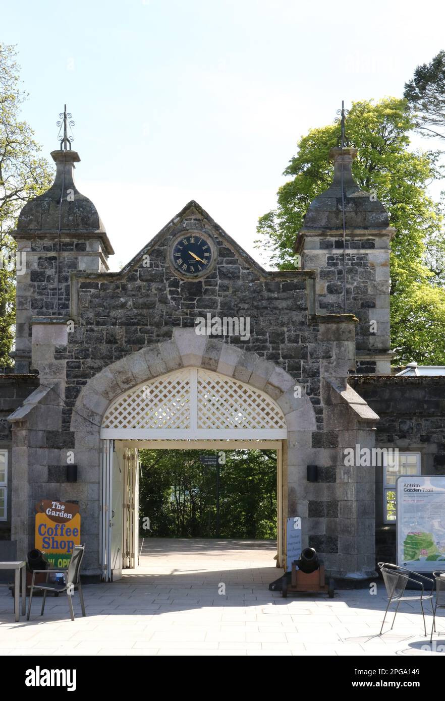
What is recorded here
The official Northern Ireland record identifies this as ENCLOSURE. Recorded period: UNCERTAIN. The official map point was placed at the centre of the recorded archaeological site from the source map reference.
The monument record does not grant public access. Check the route and ask the landowner before entering private land.
- What survives
- Recorded monument
Places near here
 LiDAR site- Large circular enclosure in GloonanLiDAR site- Large circular enclosure · 483 yd
 ENCLOSURE & Man-made underground passage? (O.S. memoir site; unlocated) in BallykennedyENCLOSURE & Man-made underground passage? (O.S. memoir site; unlocated) · 966 yd
 First Presbyterian ChurchChurch · 1135 yd
 Trinity Presbyterian ChurchChurch · 1296 yd
 MOTTE AND BAILEY: McQUILLAN'S CASTLE in GalgormMOTTE AND BAILEY: McQUILLAN'S CASTLE · 1.0 mi
 Galgorm CastleCastle · 1.3 mi
 2025 Northern Ireland riotsriot · 2.8 mi
 TullyMountain / peak · 3.2 mi
 Top WoodWood · 4.3 mi
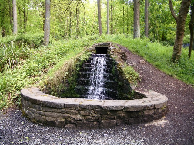 Portglenone ForestForest · 4.8 mi
 FORD across R. BANN & SITE OF BATTLE, 1689 (see also ANT 031:052 for opposite side of the river) in GlenoneFORD across R. BANN & SITE OF BATTLE, 1689 (see also ANT 031:052 for opposite side of the river) · 5.7 mi
 The Strand at Lough BegVisitor information · 7.1 mi
Other information
Photo: Credit not shown in the picture search · Rights wording not checked; contact us if this picture should be removed