What is recorded here
A large enclosure (diam. c. 40m) defined by a fosse, visible as a cropmark on aerial photographs (ASIAP (27) 2 and 4, August 1996). A smaller enclosure (KK043-096001-) is conjoined to the NW, though the cropmark suggests that the larger enclosure may overlie smaller.
Compiled by: Jean Farrelly
Date of upload: 1 September 2015
The monument record does not grant public access. Check the route and ask the landowner before entering private land.
- What survives
- Recorded monument
Places near here
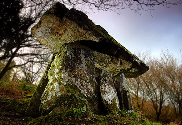 Enclosure in Gaulstown (ida By., Rossinan Ed)Enclosure · 30 yd
 Graul Burkes Castle (Site of)Castle, unclassified · 383 yd
 Gaul Burke's CastleArchaeological place · 418 yd
 Church in BishopshallChurch · 860 yd
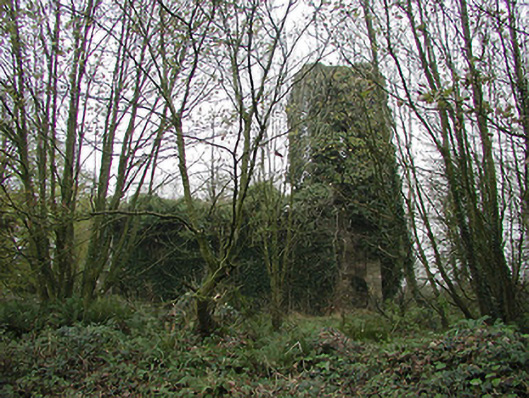 Gaulskill Churchchurch/chapel · 996 yd
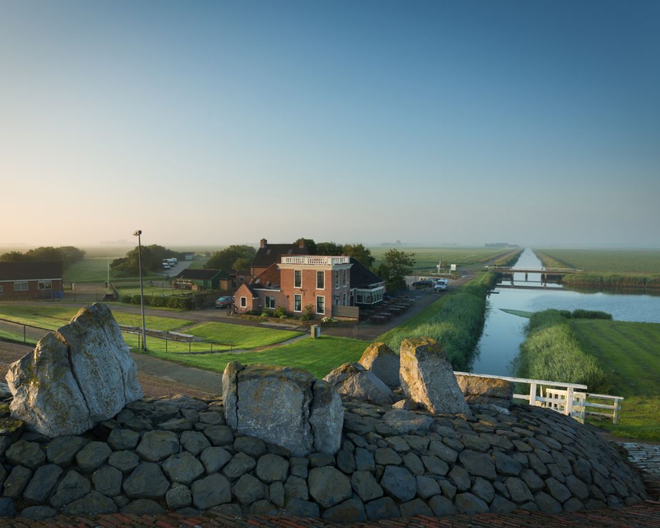 Grogan Ringfort (rath)Archaeological place · 2.3 mi
 Native Woodland Trust:Grace Dieu ReserveWood · 3.7 mi
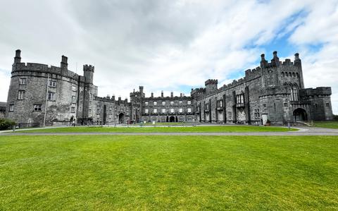 Ballynaboley WoodForest · 4.2 mi
 Mount Congreve GardensHeritage attraction · 6.2 mi
 Waterford & Suir Valley RailwayHeritage attraction · 7.0 mi
 Donnell's HillMountain / peak · 9.5 mi
 Tower HillMountain / peak · 9.8 mi