
What is recorded here
Situated within a hilltop enclosure (LE010-085005-) on a plateau of outcropping rock with panoramic views in all directions. It consists of a small roughly circular hollow depression (dims 7.1m N-S; 6.1m E-W; ext. D 0.5m) defined by natural rock outcrop which appears to form a partially enclosing element around the hollow depression from S through W to N only. There is no enclosing element on the E side which would suggest that this is a quarry rather than an archaeological monument of prehistoric date. This unusual earthwork may be the result of nineteenth century quarrying in such a fashion as to create a circular hollow. However the close proximity of two circular hut sites (LE010-085002-; LE010-085003-) 13m to the NE may suggest that this is an archaeological feature rather than the result of nineteenth century quarrying. Further archaeological investigation is required in order to ascertain the dating of this feature. (Kytmannow, Kahlert and Hunt 2010)
Compiled by: Caimin O'Brien, Paul Walsh
Date of upload: 19 November 2012
A local fairy fort (ringfort/rath); wider significance not recorded.
The monument record does not grant public access. Check the route and ask the landowner before entering private land.
- What survives
- Recorded monument
Places near here
 IndicatedPromontory fort, inland · 806 yd
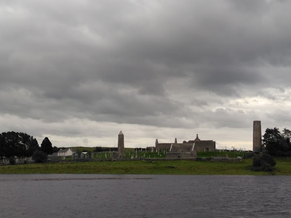 Enclosure in CarrickanurrooEnclosure · 1633 yd
 Keelogyboy Mountain NE TopMountain / peak · 1.2 mi
 Keelogyboy MountainMountain / peak · 1.3 mi
 CastleCastle, tower house · 1.7 mi
 Parke's CastleHeritage attraction · 1.7 mi
 Court Tomb TrailWalking route · 2.2 mi
 Chapel (in Ruins)Church · 2.7 mi
 Toberconnell BayBay · 2.8 mi
 Church (in Ruins), Cloghermore grave Yd.Church · 2.9 mi
 St. Connells IslandIslet · 2.9 mi
 Cullentra ForestForest · 3.1 mi
Other information
Photo: Credit not shown in the picture search · Rights wording not checked; contact us if this picture should be removed