What is recorded here
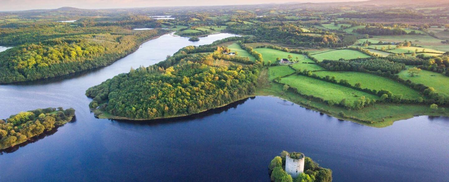
Enclosure in Drummany (tullyhunco By., Springfield Ed) is a 60m oval grass area at the ridge end above Derreskit Lough, marked by a 7m earthen bank and a low scarp. It stands 250m from the crannog, exposing a boundary made for human life rather than nature.
Located at the N end of a low N-S ridge overlooking Derreskit Lough and the crannog (CV019-007----) c. 250m to the N. An oval grass-covered area (dims c. 60m NW-SE; c. 48m NE-SW) defined by what appears to be an earthen bank (at N: Wth c. 7m) NW-E and what is probably a low scarp elsewhere is visible on MapGenie (20035-12), Digital Globe (2011-13) and Google Earth (07/03/2012; 26/03/2012; 24/03/2017). It was first reported by Jean Charles Caillére.
See the attached enhanced views from Digital Globe (_1) and Google Earth (_2)
Compiled by: Michael Moore
Date of upload: 12 July 2022
The monument record does not grant public access. Check the route and ask the landowner before entering private land.
- What survives
- Recorded monument
Places near here
 IndicatedFairy fort / ringfort · 1131 yd
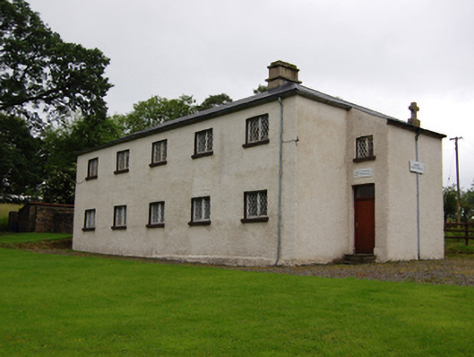 Seipeal Naomh Treasa, Scoil Naisiunta Port Leamhchoilleschool · 1272 yd
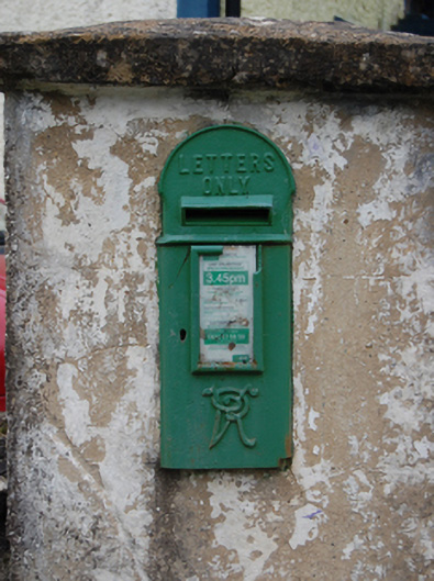 post boxpost box · 1397 yd
 Common LimeCommon Lime · 1.2 mi
 Drumergoole WoodForest · 1.4 mi
 Creenagh GlebeMountain / peak · 1.5 mi
 Killeshandra Irish Countrywomen's Association 70th AnniversaryMemorial · 1.7 mi
 CorradarrenMountain / peak · 1.9 mi
 Enclosure in ShancroaghanEnclosure · 2.0 mi
 Inch IslandIslet · 3.3 mi
 Woodenhouse BayBay · 3.4 mi
 King's GraveArchaeological place · 3.4 mi