
What is recorded here
In a marshy, low-lying area. It is a slight depression on the NE side of a natural ridge, possibly site of a non-archaeological feature. Depicted on the current edition of the OS 6-inch map as a semicircular bank of an enclosure (approx. diam. 35m N-S) surviving from N through E to S only, not depicted on the first edition of the OS 6-inch map.
Compiled by: Caimin O'Brien
Date of upload: 17 December 2007
The monument record does not grant public access. Check the route and ask the landowner before entering private land.
- What survives
- Recorded monument
Places near here
 Saint Fintan's Catholic Churchchurch/chapel · 934 yd
 Tenakill Househouse · 1279 yd
 Enclosure in MountfeadEnclosure · 1572 yd
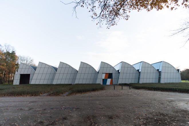 Enclosure in DerrykearnEnclosure · 1611 yd
 Sweet ChestnutSweet Chestnut · 2.9 mi
 Killeany Castle (ruins)Castle · 2.9 mi
 Abbeyleix Heritage CentreMuseum · 3.3 mi
 Knocknamoe HouseMemorial · 3.5 mi
 CastleCastle, motte · 3.9 mi
 SycamoreSycamore · 3.9 mi
 Rock of CashelMountain / peak · 4.0 mi
 BaunreaghcongMountain / peak · 10 mi
Other information
Photo: Credit not shown in the picture search · Rights wording not checked; contact us if this picture should be removed