What is recorded here
Depicted as a large circular enclosure on the 1838 edition of the OS 6-inch map and as an irregular shaped field boundary on the 1906 edition of the OS 6-inch map with a road running through the SW quadrant of the enclosure.
Compiled by: Caimin O'Brien
Date of upload/revision: 15 September 2010
The monument record does not grant public access. Check the route and ask the landowner before entering private land.
- What survives
- Recorded monument
Places near here
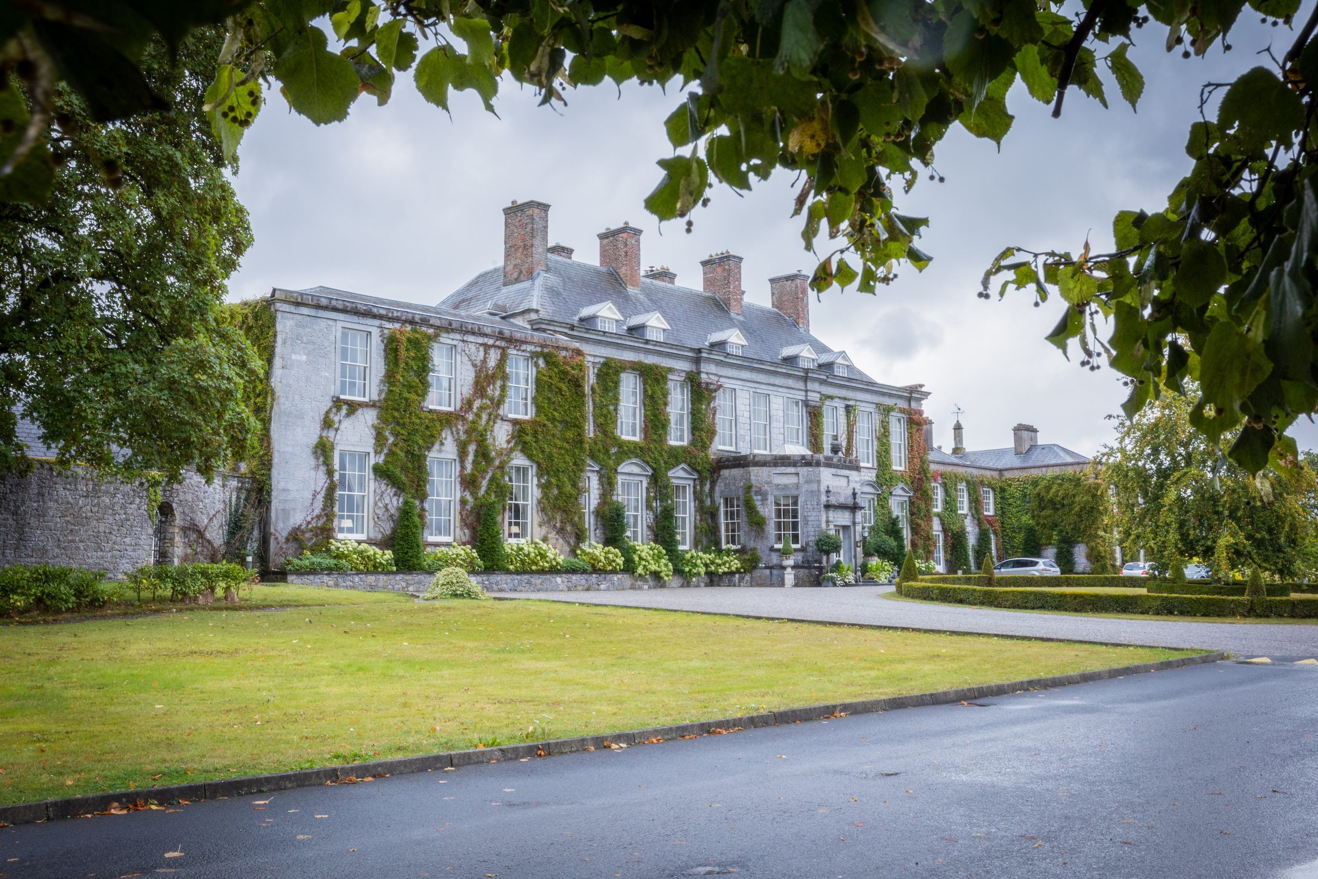 Raheendonell, indicatedChurch · 439 yd
 Raheendonnell, HachuredFairy fort / earthen ringfort · 462 yd
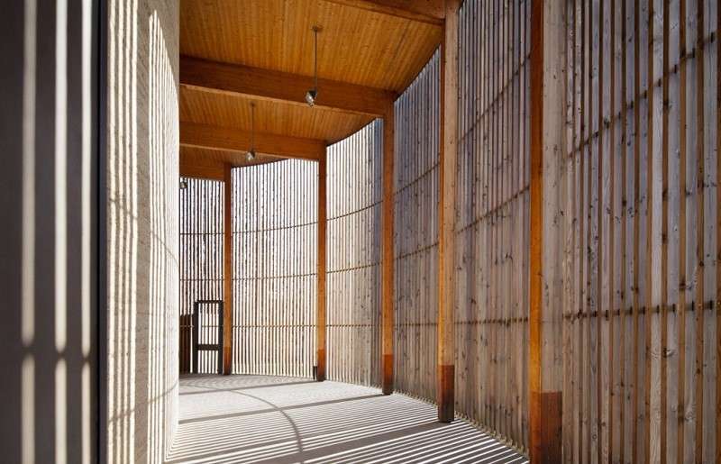 Ecclesiastical enclosure in DerrykearnEcclesiastical enclosure · 469 yd
 Saint Fintan's ChurchRuins · 1.2 mi
 Killeany Castle (ruins)Castle · 2.1 mi
 Abbeyleix Heritage CentreMuseum · 2.8 mi
 Knocknamoe HouseMemorial · 3.1 mi
 Scotch RathHouse, fortified house · 3.4 mi
 Sitka SpruceSitka Spruce · 3.6 mi
 Scots PineScots Pine · 3.6 mi
 Rock of CashelMountain / peak · 4.7 mi
 Heywood GardensHeritage attraction · 5.8 mi
Other information
Photo: Credit not shown in the picture search · Rights wording not checked; contact us if this picture should be removed