What is recorded here
The official Northern Ireland record identifies this as ENCLOSURE. Recorded period: UNCERTAIN. The official map point was placed at the centre of the recorded archaeological site from the source map reference.
The monument record does not grant public access. Check the route and ask the landowner before entering private land.
- What survives
- Recorded monument
Places near here
 MEDIEVAL PARISH CHURCH (site of) & GRAVEYARD: SAINT JOHN'S in DromaraMEDIEVAL PARISH CHURCH (site of) & GRAVEYARD: SAINT JOHN'S · 640 yd
 ENCLOSURE (NON-ANTIQUITY) in ArdtanaghENCLOSURE (NON-ANTIQUITY) · 1.3 mi
 Darby's LoaninWalking route · 1.7 mi
 Harry Ferguson Memorial GardenMonument · 2.3 mi
 Pass LoaningWalking route · 2.4 mi
 Slieve CroobMountain / peak · 3.5 mi
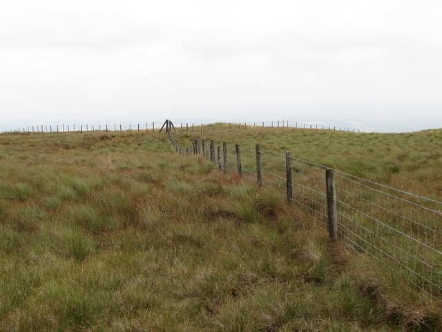 SlieveniskyMountain / peak · 4.2 mi
 POST MEDIEVAL PARISH CHURCH in FedanyPOST MEDIEVAL PARISH CHURCH · 4.5 mi
_-_geograph.org.uk_-_2856159.jpg?width=1280) Church of the AscensionChurch · 4.5 mi
Church of the AscensionChurch · 4.5 mi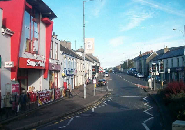 Lisburn Street South Car ParkVisitor information · 4.8 mi
 Lisburn Street North Car ParkVisitor information · 4.8 mi
 Backaderry WoodForest · 5.0 mi