What is recorded here
Derreenacrinnig East holds a circular stone enclosure nineteen metres wide, its double wall of contiguous slabs still standing beside rough grazing. The southern entrance frames two parallel uprights, while hut sites cling to the interior and outer wall like forgotten rooms. People may have gathered there to mark seasons, resolve disputes, or simply share heat beneath an open sky. The valley still faces Castledonovan, waiting for someone to remember why the stones were set.
In rough grazing on peaty soil on the floor of a valley with views SW to Castledonovan. A circular area (diam. 19m) is defined by the remains of a stone wall (T 1.1m; H 0.6m) consisting of an inner and an outer row of contiguous stone slabs with an infill of smaller stones and earth. The wall is best preserved SE-W and elsewhere it is in a more jumbled state, especially along the NE arc where it has been badly damaged. The entrance (Wth 1.6m), at S, is defined by two parallel slabs (H 1.2m and 0.85m, respectively). The interior is slightly uneven. There is a hut site (CO106-066001-) in the N quadrant and another hut site (CO106-066002-) adjoins the enclosing wall externally at SSW.
The above description is derived from 'The Archaeological Inventory of County Cork. Volume 5' (Dublin: Stationery Office, 2009).
Date of upload: 22 December 2009
The monument record does not grant public access. Check the route and ask the landowner before entering private land.
- What survives
- Recorded monument
Places near here
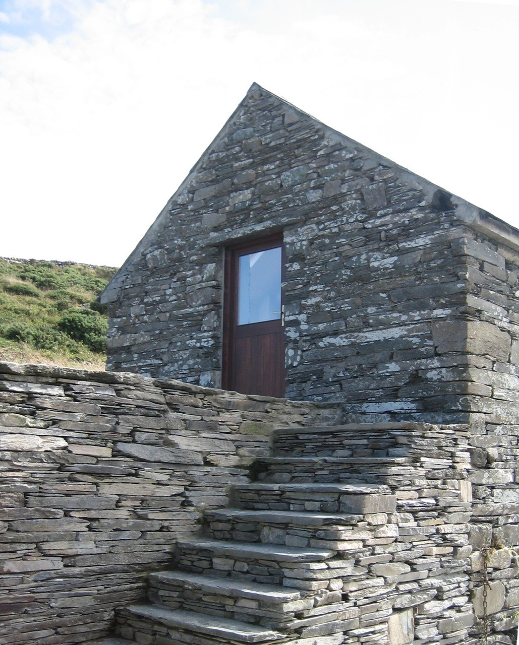 Enclosure in Derreenacrinnig EastEnclosure · 369 yd
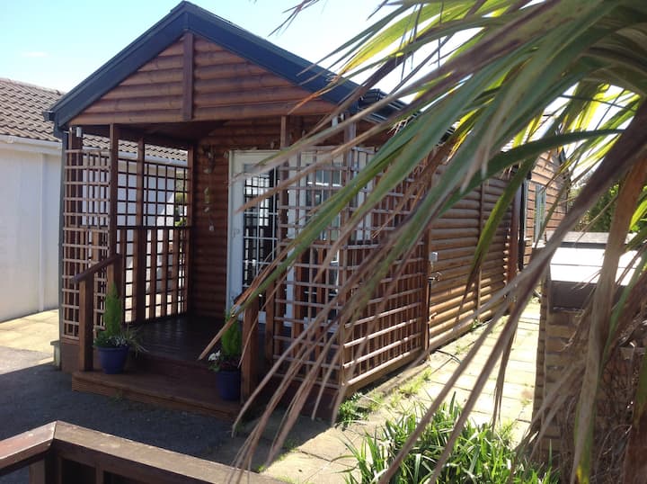 Hut site in Derreenacrinnig EastHut site · 526 yd
 Castle Donovan (in Ruins)Castle, tower house · 1684 yd
 Castle DonovanCastle · 1690 yd
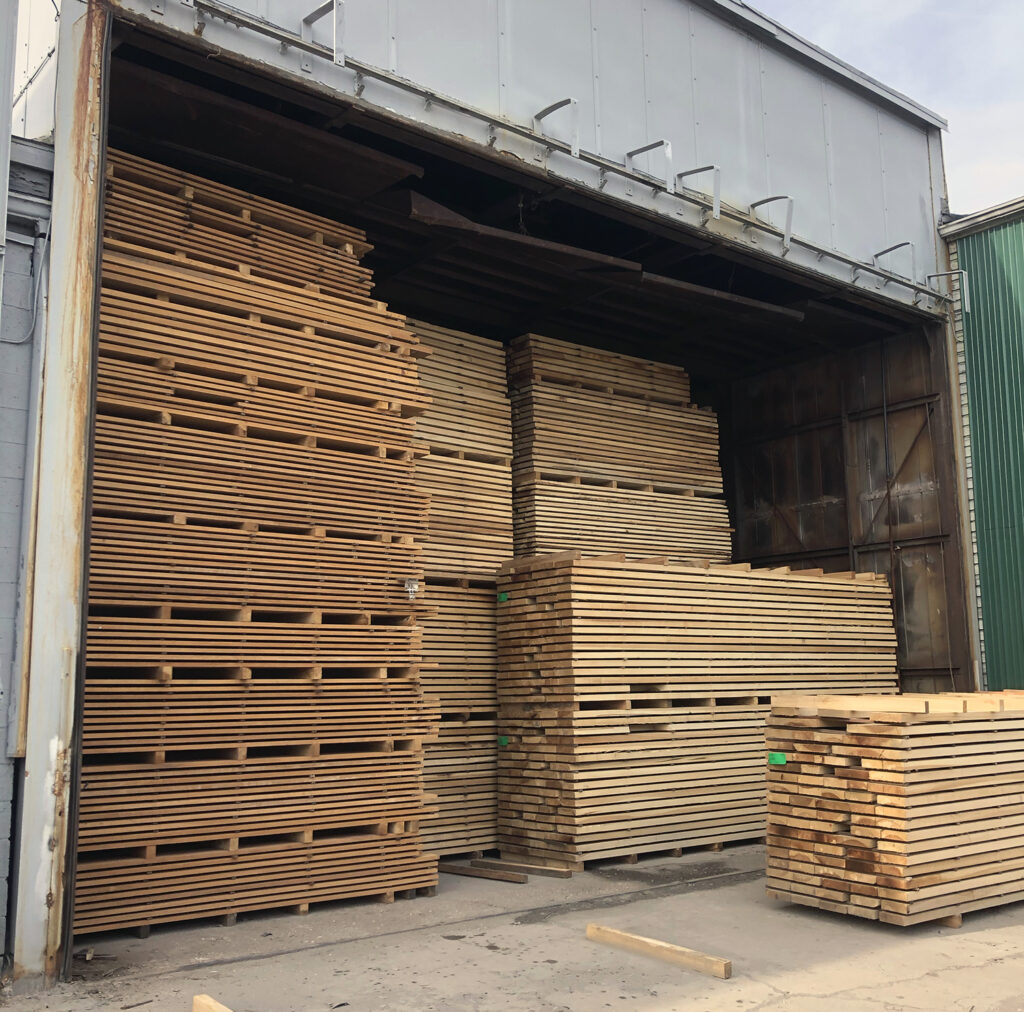 KilnKiln, corn-drying · 1711 yd
 Nowen Hill SW TopMountain / peak · 1.0 mi
 Mullach MéiseMountain / peak · 1.5 mi
 Delish Cascade WalkWalking route · 1.7 mi
 Drimoleague Heritage Loop WalkWalking route · 2.9 mi
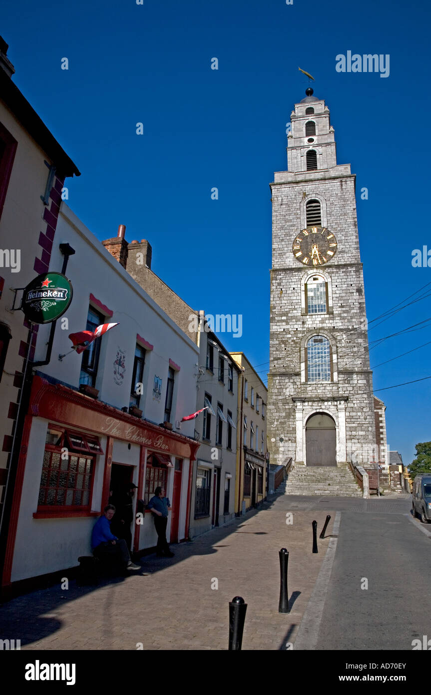 Church (in Ruins)Church · 3.1 mi
 Francis O'Neill PlaqueMemorial · 4.4 mi
 Kealkill stone circleVisitor information · 4.7 mi