
What is recorded here
A circular enclosure (diam. c. 30m) hachured on the 1840 OS 6-inch map and indicated by a curving solid line on the 1940 edition. Visible on Digital Globe aerial imagery (2011-13) defined by a bank with a modern wall superimposed and with a possible annexe at NE. The enclosure is one of several in the area and lies within a system of fields (CL004-102----) most likely contemporary with possibly earlier elements.
Compiled by: Mary Tunney
Date of upload: 16 December 2020
The monument record does not grant public access. Check the route and ask the landowner before entering private land.
- What survives
- Recorded monument
Places near here
 IndicatedFairy fort / stone ringfort · 268 yd
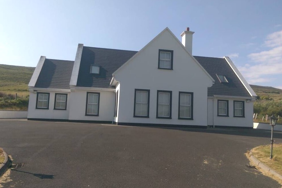 Enclosure in Derreen WestEnclosure · 291 yd
 Balliny CaherRuins · 1288 yd
 Faunarooska Castle (in ruins)Castle, tower house · 1651 yd
 PollbailinyCave · 1.1 mi
 FaunarooskaCave · 1.1 mi
 Crumlin Church (in Ruins)Church · 1.4 mi
 Slieve ElvaMountain / peak · 1.6 mi
 Fanore BeachBeach / strand · 2.0 mi
 OughtdarraCliff · 2.3 mi
 AilladieCliff · 2.7 mi
 The BurrenHeritage attraction · 3.3 mi
Other information
Photo: Credit not shown in the picture search · Rights wording not checked; contact us if this picture should be removed