What is recorded here
Dalystown Demesne holds a ghost circle on a north-facing Galway slope, wide enough to walk twice around before returning to the starting point. The grass erases the earthworks, yet shadow and light still trace the subcircular line in the sky. It may be an abandoned rath or a forgotten boundary for Dalystown House, preserving the shape of a relationship between people and land long after the walls disappeared.
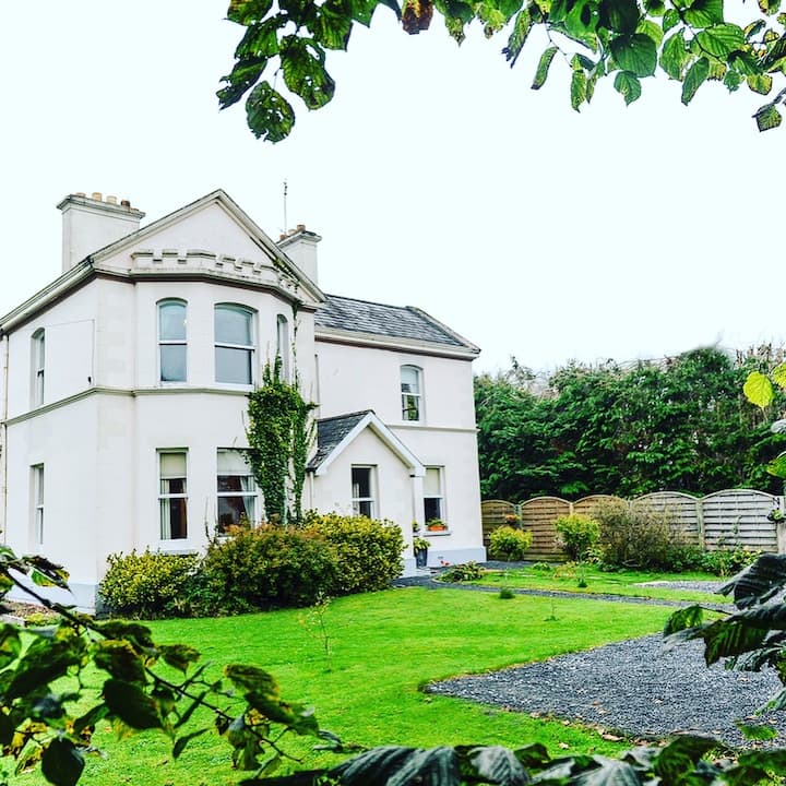
On a N-facing slope in pastureland. Marked on the OS 6-inch maps as a subcircular enclosure (c. 47m E-W; c. 44m N-S). No visible surface trace survives. However, its outline is visible on the OSi digitalglobe aerial photograph. Possibly a rath or a landscape feature associated with Dalystown House which lies c. 325m to the SSE.
Compiled by: Galway Archaeological Survey, UCG
Date of upload: 27 February 2019
The monument record does not grant public access. Check the route and ask the landowner before entering private land.
- What survives
- Recorded monument
Places near here
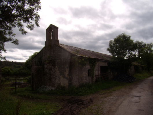 Dalyston Housefarmyard complex · 478 yd
 St Erneens WellHoly well · 1239 yd
 Metal Br.Bridge · 1440 yd
 CaveMan-made underground passage · 1722 yd
 Castle (in ruins)Castle, tower house · 1.1 mi
 Ballynamantragh CastleCastle, unclassified · 1.3 mi
 Stone Islands SouthIslet · 3.4 mi
 Long PointHeadland · 3.6 mi
 Island McCooIslet · 3.6 mi
 Dartfield Horse MuseumHeritage attraction · 4.9 mi
 Quarryhill WoodWood · 5.3 mi
 Bog WoodForest · 5.7 mi
Other information
Photo: Credit not shown in the picture search · Rights wording not checked; contact us if this picture should be removed