What is recorded here
On flat E-W terrace on a N-facing slope of rising ground in upland area with good views from W through N to E and higher ground to S. In grassland with field boundary intersecting the enclosure at W on a N-S axis. Identified as a possible enclosure on an aerial photograph (GSI S. 601/2, 16-4-1974). Monument consists of a large circular area (int. diam. 44m N-S; 46m E-W from bank to intersecting field boundary) enclosed by an earth and stone bank (top Wth 1.8m; base Wth 4m; int. H 0.2m; ext. H 0.3m) with no outer fosse or entrance feature visible. Field boundary intersects enclosure at W on a N-S axis which destroys the enclosing element on this side of the monument. Great panoramic views from the enclosure from W through N to E with higher ground to S. Large upland enclosure which is in a fair to good condition.
Compiled by: Jean Farrelly
Date of upload: 26 August 2011
The monument record does not grant public access. Check the route and ask the landowner before entering private land.
- What survives
- Recorded monument
Places near here
 Crohane CastleCastle · 801 yd
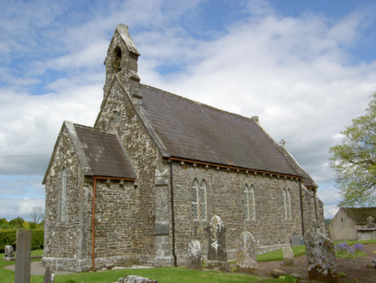 Crohane Churchchurch/chapel · 1222 yd
 Site of ChurchChurch · 1223 yd
 ToberoneHoly well · 1278 yd
 Willmountoutbuilding · 1494 yd
 Bawn in LismalinBawn · 1.9 mi
 Eagle HillMountain / peak · 2.0 mi
 Knockuragh HillMountain / peak · 2.2 mi
 Fenane WoodForest · 3.4 mi
 Slieveardagh Heritage CentreVisitor information · 3.8 mi
 Top Field at Carey'sForest · 4.6 mi
 Derrynaflan TrailHeritage attraction · 6.4 mi